Getting home did not go quite as planned. To cut a 6.5 hour story short, this involved a taxi from Kington to Knighton, a train to Llandrindod, a very large coach occupied only by us for much of the way to Llandeilo, an hour in a cafe, a 281 bus to Carmarthen bus station, a hot walk to Carmarthen train station to catch the train that we were meant to be on to Haverfordwest and finally the car home. Might just take the car all the way next time!
We’d hoped to see many attractive stations on the Heart of Wales line but the service terminated at Llandrindod
We both enjoyed the walk, despite the heat, but it didn’t have that sense of journey which, for me, is very important. Although the route was overall south-west, there was a lot of zigzagging in order to climb up yet another conifer-topped hill (hence no views from the top), and we could rarely look back and see where we’d been, nor where we were going next. Also not helped by having to be taxied to accommodation at the end of the day. Something to bear in mind when planning the next walk (if there is one! and I may not blog in future, it’s starting to feel like hard work). But it was lovely to get away and good to know we are not completely past it. Thanks for reading.
We had a lovely meal at the Riverside Inn in Aymestrey last night, and slept well in our very large room. Our taxi driver from yesterday arrived to collect us just as a lady from a different firm arrived for our bags, much shaking of heads over how ridiculous it was for Contours not to stick with one company. We’re not too bothered though, as long as our luggage is waiting for us when we arrive at the next hotel.
From the drop-off at Byton, we walked half a mile back down the road which loosened us up a bit. It already felt very hot with almost no breeze. Then we turned off the road – straight into more dense bracken/ nettles/ brambles. It was no worse than yesterday, and going uphill with no time pressure was an improvement, but I hope they send out a man with a strimmer soon.
The turn off the roadThere is a view if you climb on the bench
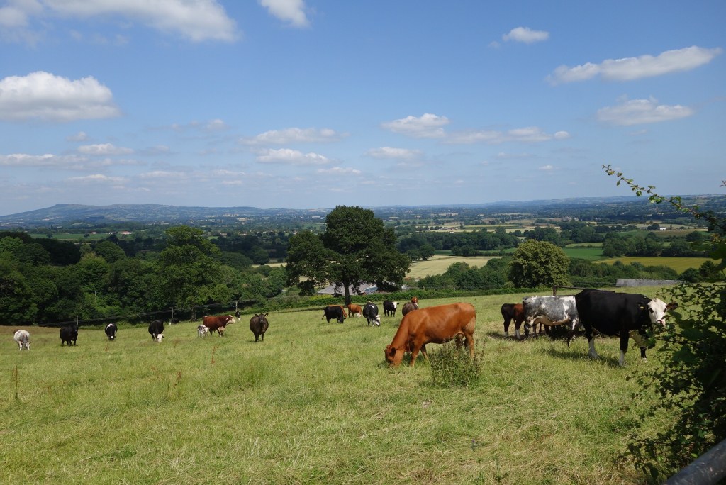
There was some respite in woodland, and eventually we reached more forestry commission land on the top of the hill – cool and lovely in the shade. The path turned and headed down through beech trees, but soon we were descending along field edges and very aware of the heat. Several fields of cows, but mostly behind electric fences. Then we reached the church at Titley – we’d hoped for trees in the churchyard but there were none, so we sat and ate our sandwiches in the porch, the only shade available. A little further on we found the Stagg Inn, full of Sunday Lunchers, but they found us a small table and brought us ginger beer without turning up their noses too much.
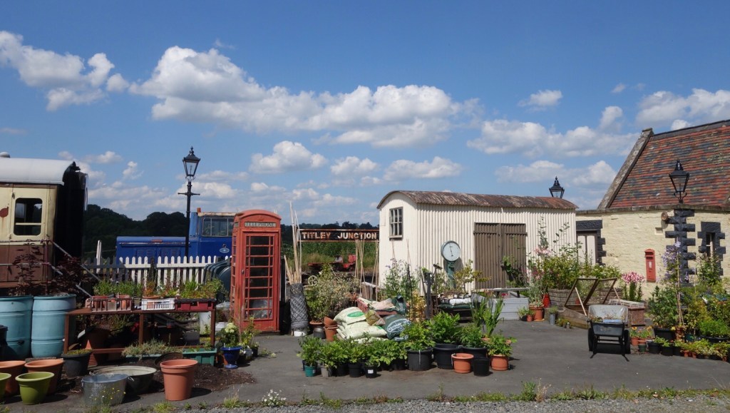
Given the heat, we decided to follow the Herefordshire Trail from Titley to Kington as it looked shorter and avoided trudging up two more fairly high hills. A good move – though I started to wonder if I was hallucinating first when coming across a farmer practicing golf, then when we found what the map said was a dismantled railway.
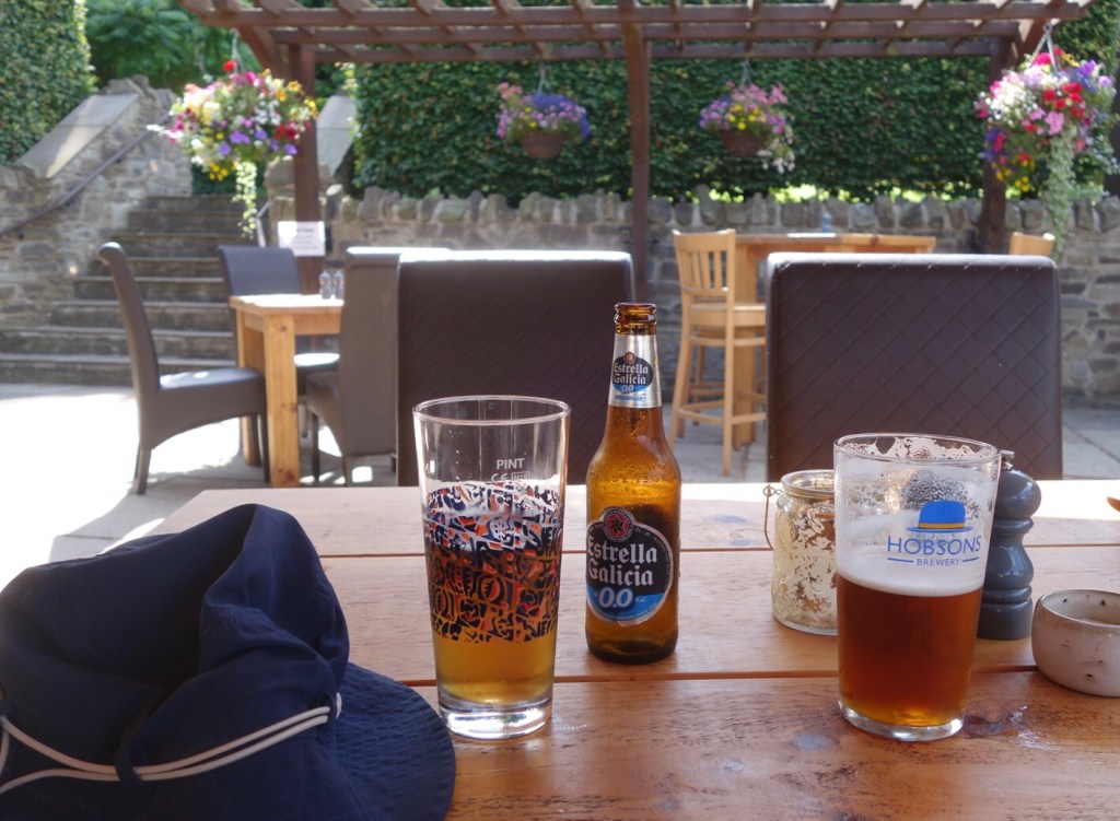
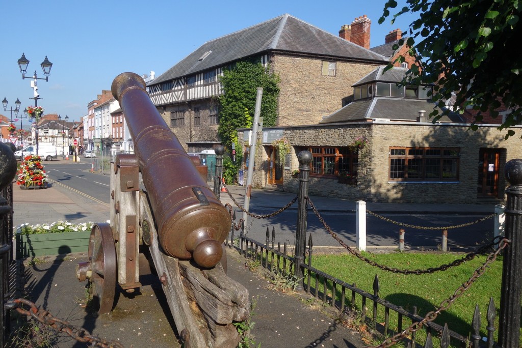
The shorter route led us through woodland (unfortunately redolent with dead fox and other animals) in more or less a straight line to Kington. My turn to flag – we should have had a break sooner – but we reached our hotel at last, in time to use the pool and spa facilities – very welcome after all our exertions
Back home on the train tomorrow, and a chance to reflect on the walk.
Today started well – we said goodbye to our comfortable Ludlow guest house and returned by taxi to yesterday’s finish in Orleton Common. The taxi driver cheered us on our way by saying it was already 26C at 10:15, and it didn’t get cooler.
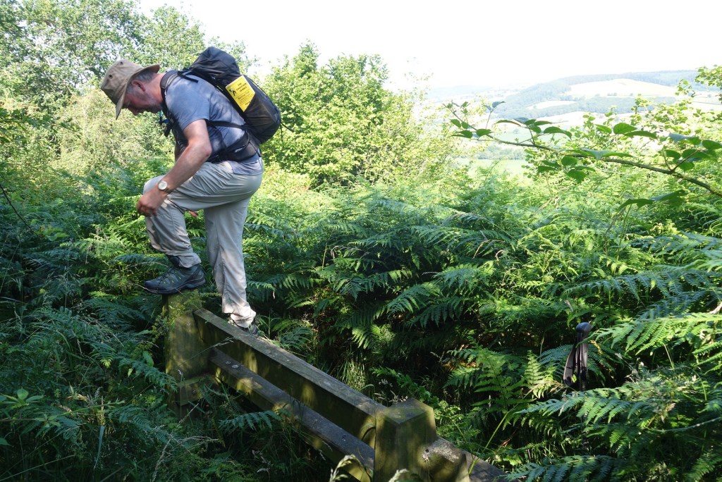
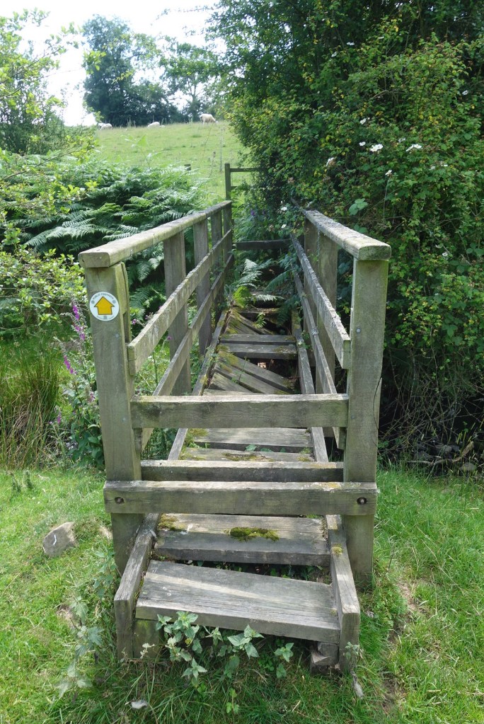
The first of many rickety stiles, with a sign to bang your head on
After the first climb through unshaded fields, we were in forestry plantations for a while, which was pleasant. The path then skirted round Croft Ambrey Iron Age hill fort, with the banks to our left and a very steep scarp to our right and views over to Wigmore. We stayed just outside the conifer forest on a pleasant path through bracken before a long descent on a stony forest track. I was a little alarmed when a stile led into a field of Hereford Blacks, one with a ring in its nose, but they seemed totally uninterested in us. Down through a steep wood, across a field of cut hay, and into the middle of Aymestrey village fete!
Looking west from Croft AmbreyAymestrey fete
We didn’t divert to the pub (where we are staying tonight) but pushed on as the taxi arranged for the end was scheduled rather earlier than we would have liked. So after a brief sandwich stop we continued, now alongside a small river where we might have seen otters and kingfishers if we’d had time. Then up a steep and overgrown path and onto more forest tracks, climbing all the time up Shobdon Hill. By now it was seriously hot and Ian was flagging so we took it rather more slowly and detoured on a path that missed out the worst hill.
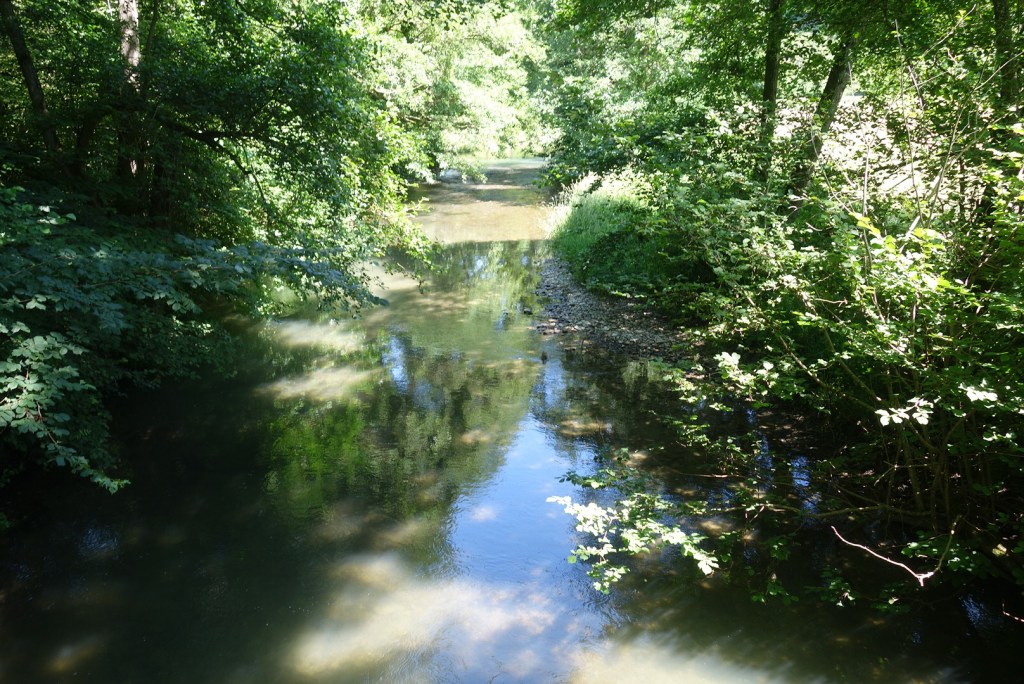
River LuggOne of today’s better paths
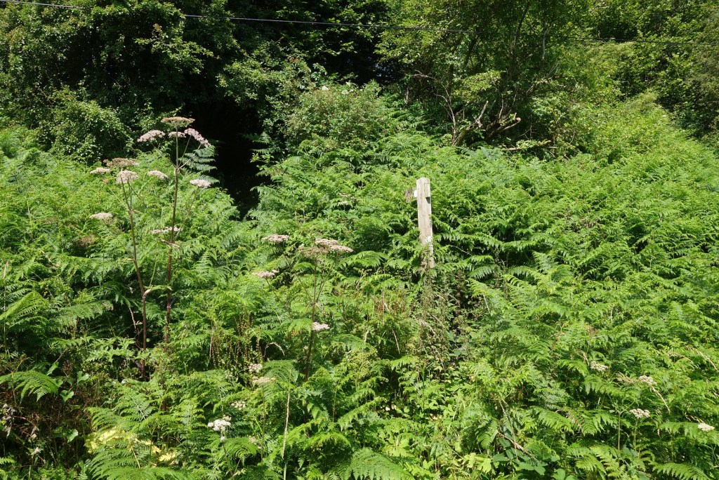
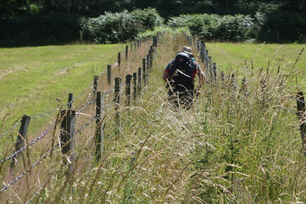
Rejoining the trail a mile or so later, we immediately lost it again and then had to walk back up (why do I go wrong on the downhills?) to find a badly signed gate into a sheep field. There was a path of sorts, in the correct place according to GPS, but it was muddy and broken away, and it twisted its way round trees and bushes. After a while it was mostly through dense head-high bracken interlaced with brambles, nettles and goose grass, still treacherous underfoot, for the best or worst part of a mile – truly one of the most unpleasant paths I have ever walked.
It became clear we weren’t going to meet the taxi deadline so Ian tried to call him and left a message. We carried on getting more and more scratched and stung, until we finally emerged into a wood. The path was steeper but clear, and with great relief we emerged at the bottom just as the taxi driver rang back, he was still waiting for us – and keen to tell us the temperature was over 30C.
Yesterday was around 10.5 miles, today 12.4. Hope we survive the final walk tomorrow.
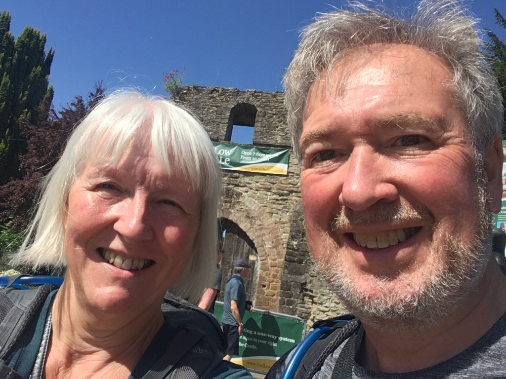
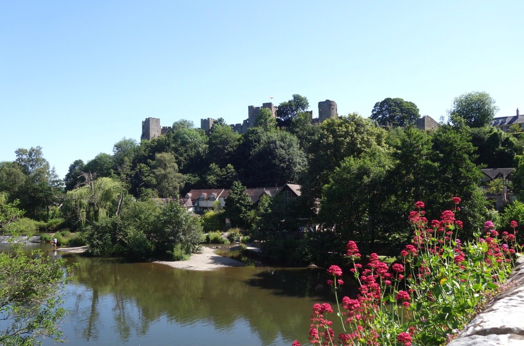
After breakfast (and I was defeated by breakfast before we’ve started!) we set off down the hill into Ludlow. The town was busy in the sunshine, lots of interesting shops and market stalls, but we stopped only briefly to buy two absolutely enormous baguettes for lunch. Then after a quick selfie at the start of the trail, we headed off round the castle walls and down to the river.
Ludlow Castle from Dinham Bridge
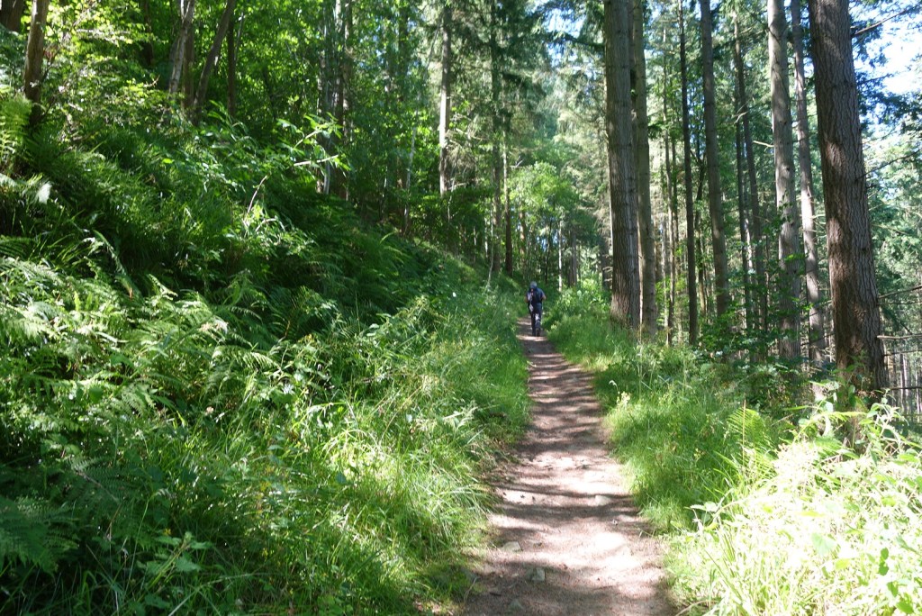
On the other side of Dinham Bridge we immediately climbed up Whitcliffe Common, heavily wooded. I was expecting spectacular views back down to Ludlow but there were none. It was already hot and we were glad to be in the shade. After a mile or so we entered Forestry Comission land, with wider tracks and more conifers – and more flies determined to make a meal out of me. I retrieved the out-of-date Anthisan from the very bottom of my rucksack, added a slick of Avon So Soft (as allegedly used by the SAS as insect repellent but you’d smell them coming) on top of the factor 30 and slithered on my way. After a while the path descended into Mary Knoll Valley, then after crossing the stream we climbed, gently enough but for a long time, up the other side to Climbing Jack Common.
Whitcliffe CommonTitterstone Clee Hill
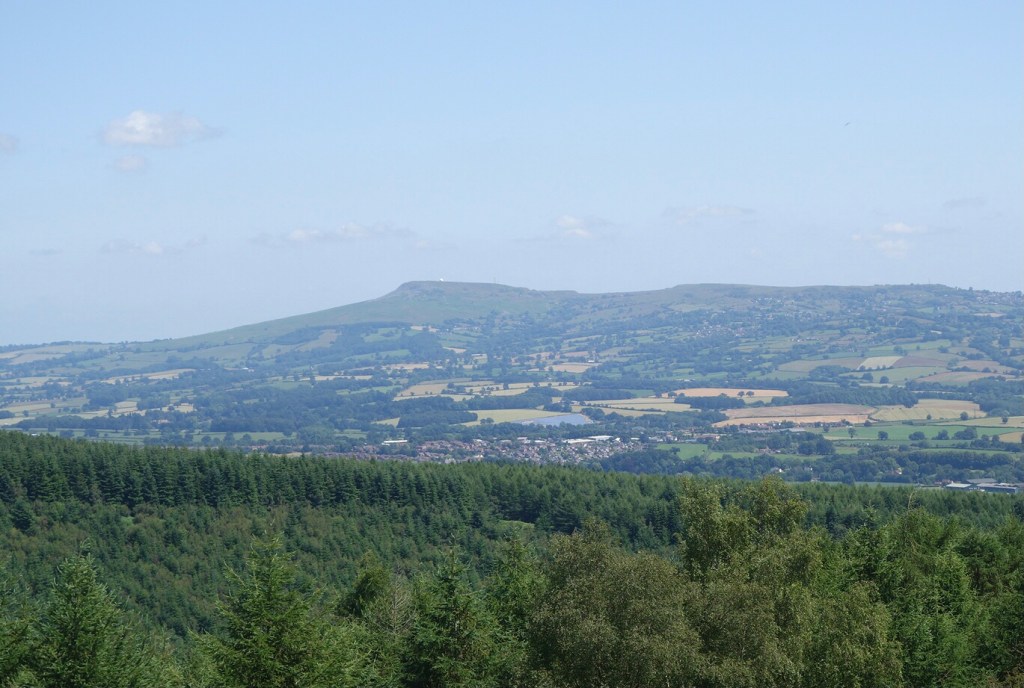
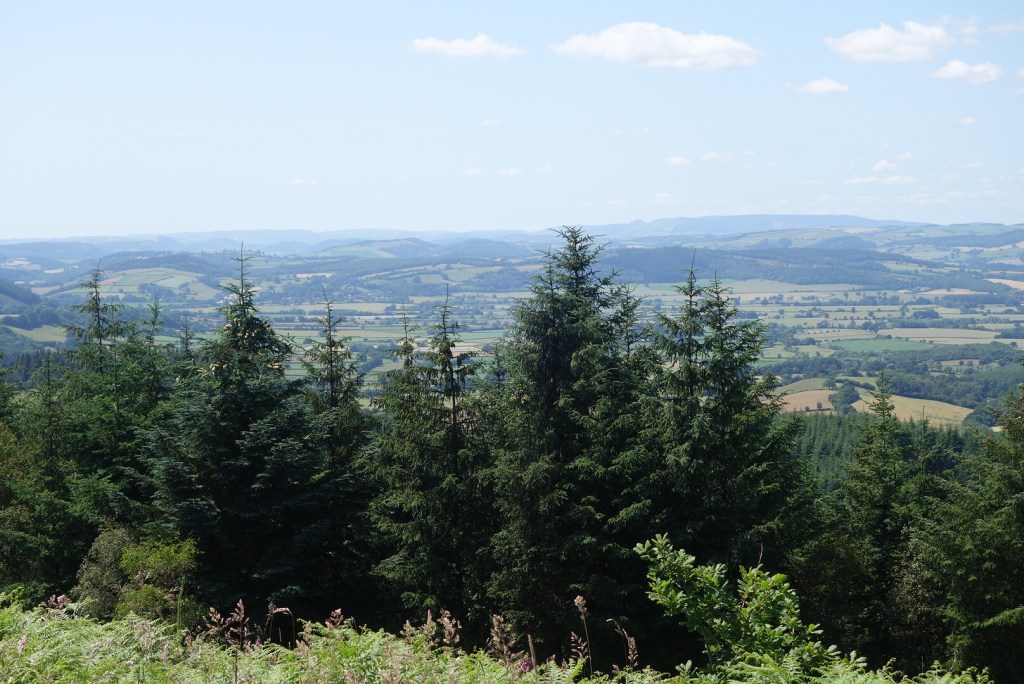
We had been promised views, and when we got to the very top we could see over the tops of the trees in most directions, and could pick out the Malverns to the east, the Black Mountains to the south, and rolling ridges to the north and west. But it was a little hazy and, living where we do, we have very high expectations of what constitutes a good view!
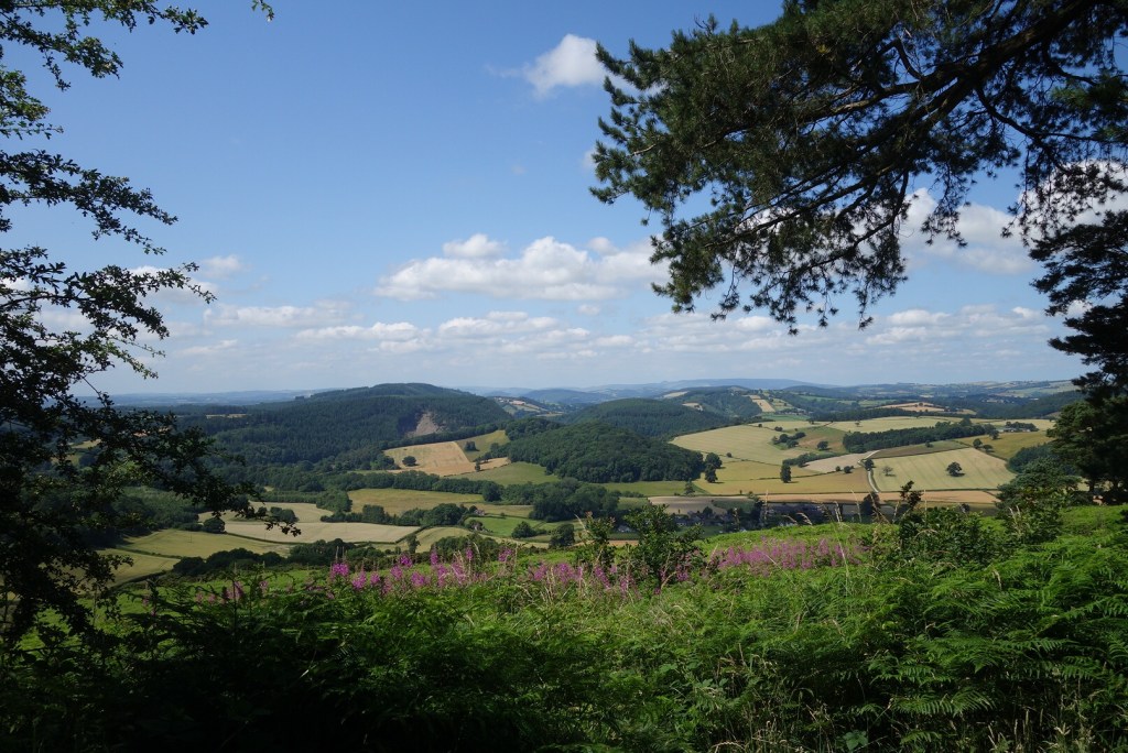
South west from the highest point on the trail
Heading onwards, we missed a waymark or two, but I was using the OS app on my phone and could see we were still on the line with green diamonds. Only after descending some way down a steep slope did I realise that we were now following the Herefordshire Way and not the Mortimer Trail. Back up the hill, and that felt like the steepest bit of the whole day.
We didn’t have to go through this lot!
A long section of pasture, with sheep crowded into every patch of shade by the field edge, then soon onto quiet lanes for the last couple of miles. We were very early for the arranged taxi pickup (to take us back to Ludlow for the night) so we walked an extra mile to a convenient and pleasant pub, and rearranged the pickup point. Good decision!
I mistyped ‘trail’ as ‘trial’, I hope that wasn’t prophetic. After a long winter and spring, here we go again. The Mortimer Trail is a 30 mile walking route from Ludlow in Shropshire to Kington in Herefordshire. I bought a guidebook for it several years ago which lay in a drawer until we started tentatively considering a holiday for this year. We found a company (Contours) who arrange accommodation and baggage transfer, and here we are in Ludlow.
We came by train (a direct connection from Haverfordwest, 24 stops). Not too busy, the majority but not all wearing masks, and no checks of masks or tickets.
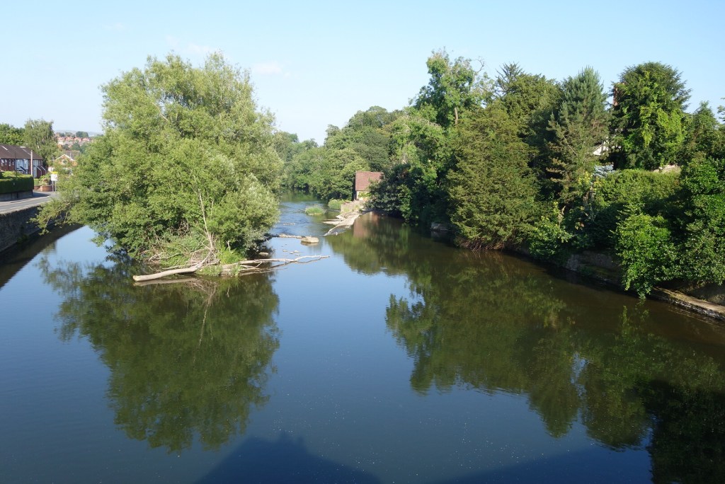
We’ve visited Ludlow several times over the years and it’s always good to come back. We spent the early evening wandering around the streets, so many beautiful old houses and some lovely gardens, a lot of care taken. Down by the River Teme a kingfisher skimmed across the water then settled on a branch, making an occasional foray into the water.
Then off to Mortimers restaurant, appropriately, for an exceptional meal, which may slow us down even more on the hills tomorrow. Just our luck, the forecast is for the warmest weather of the year so far for the west.