Finishing the Pembrokeshire Coast Path – Ceibwr to St Dogmaels

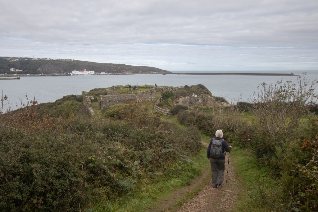
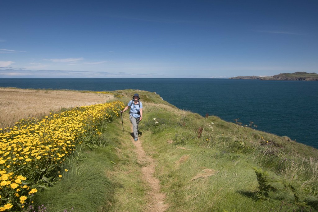
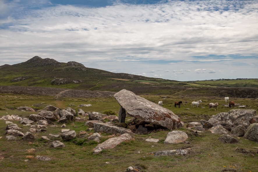
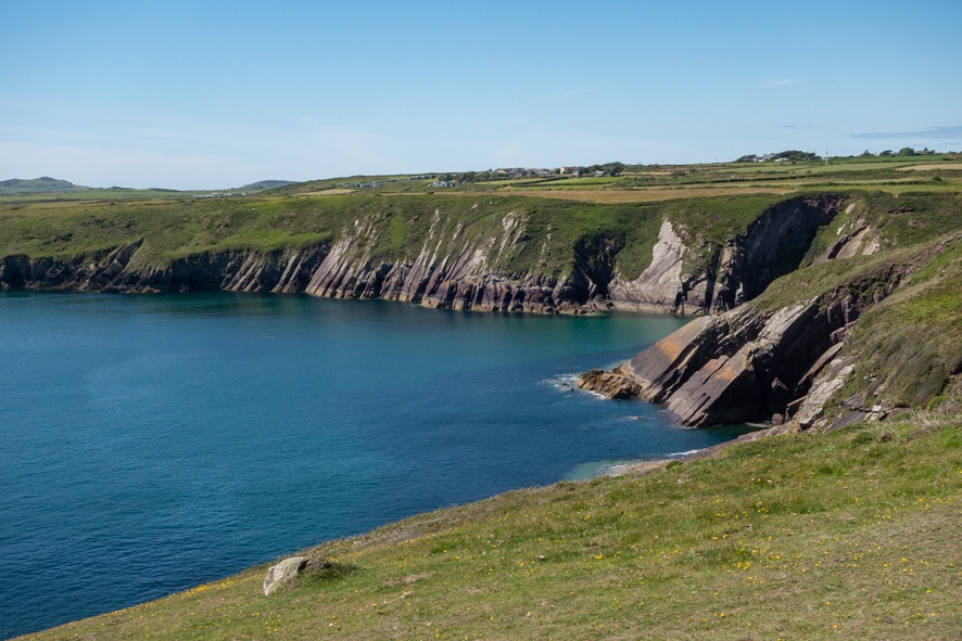
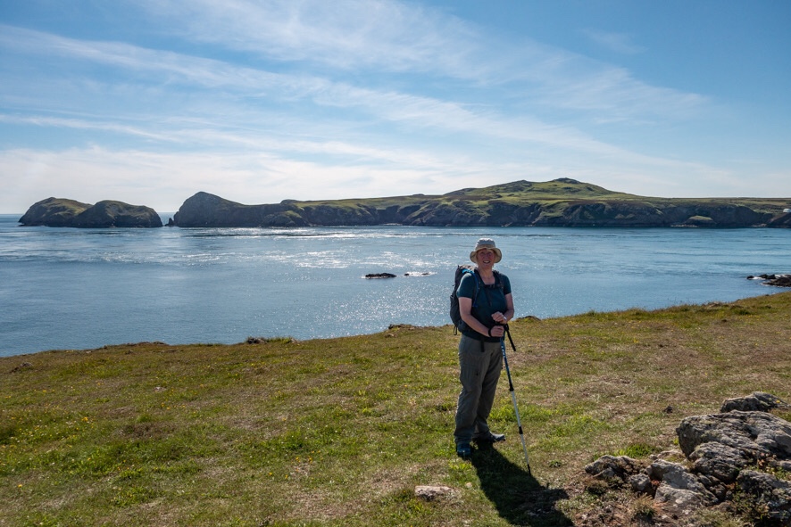
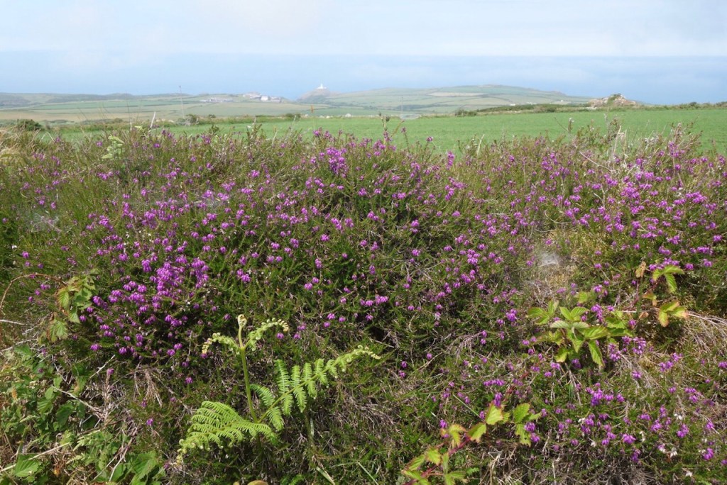
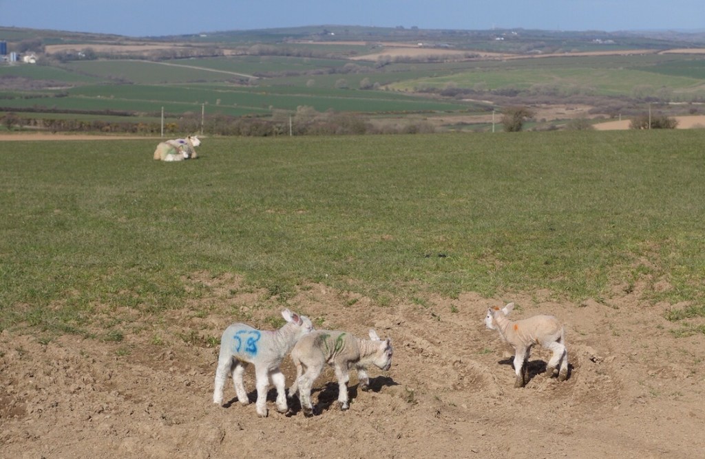
I don’t quite know how it has taken us two years to walk the 186 miles round the Pembrokeshire coast given that we managed 280 miles from Oxfordshire to Pembrokeshire in three weeks. At long last we started on the final section, again with Alan and Kath, on a beautiful early autumn day. Soon after Ceibwr Bay, Alan spotted the tail of a lizard on the path, still twisting and writhing – lizards discard them as a defence mechanism. So interesting I failed to photograph it.

Ian and Alan setting off for the last time
Ceibwr Bay
High cliffs and hidden coves

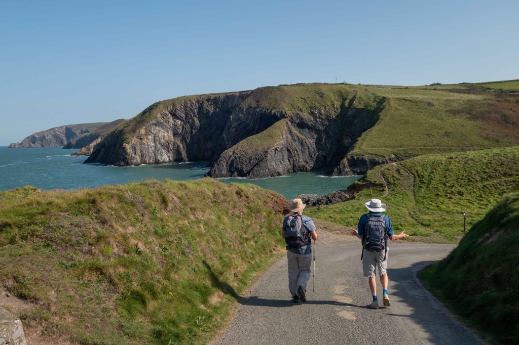
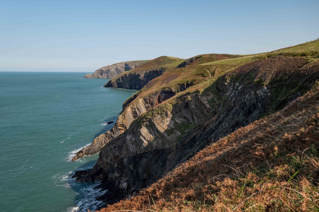
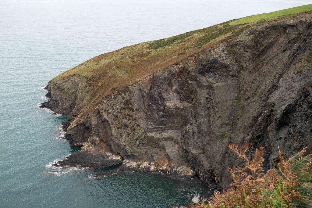
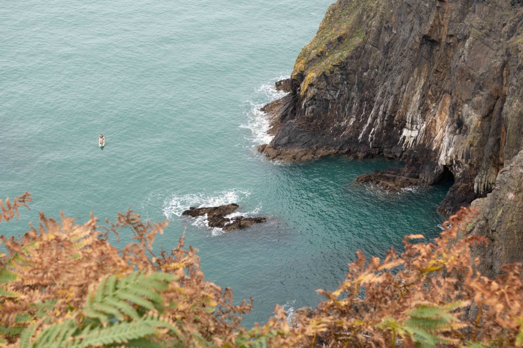
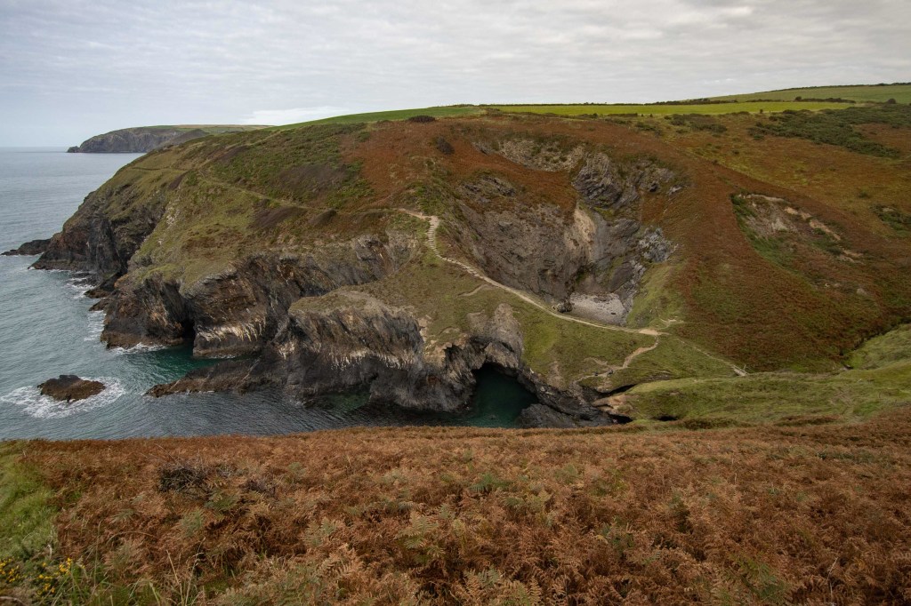
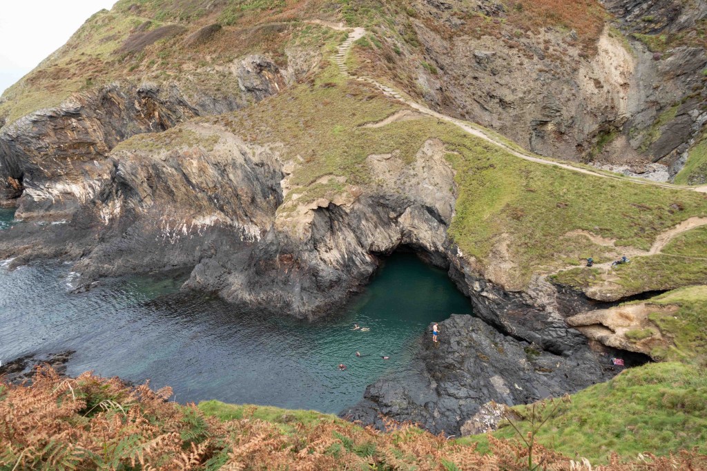
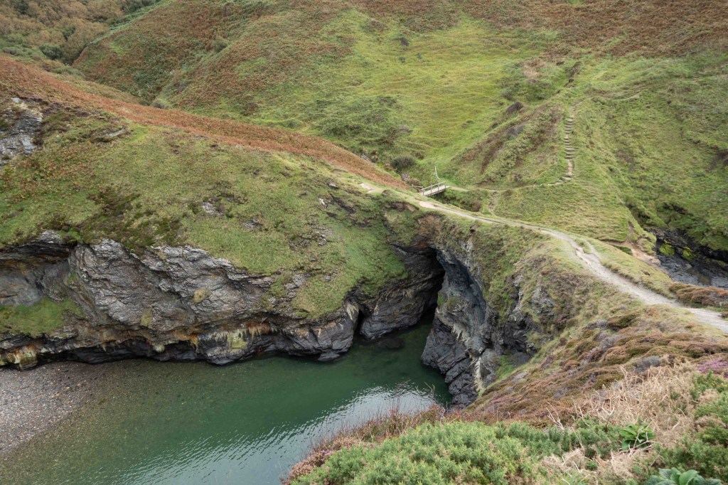
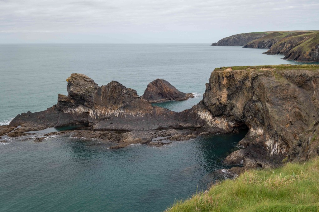
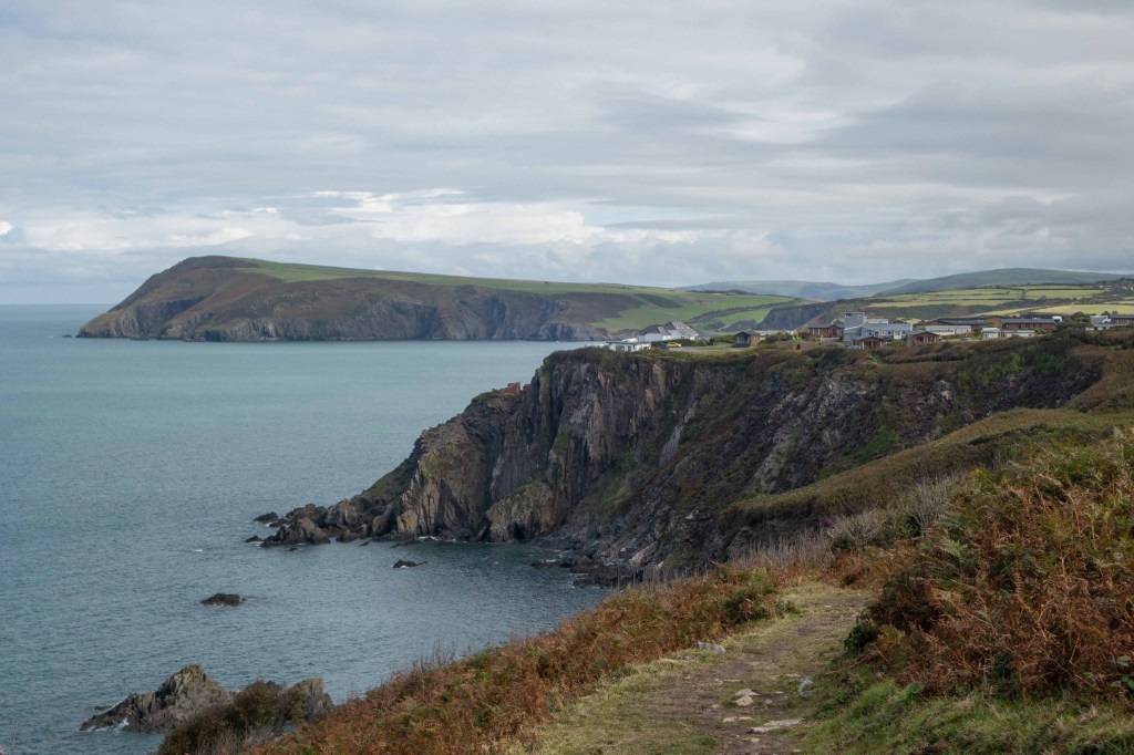
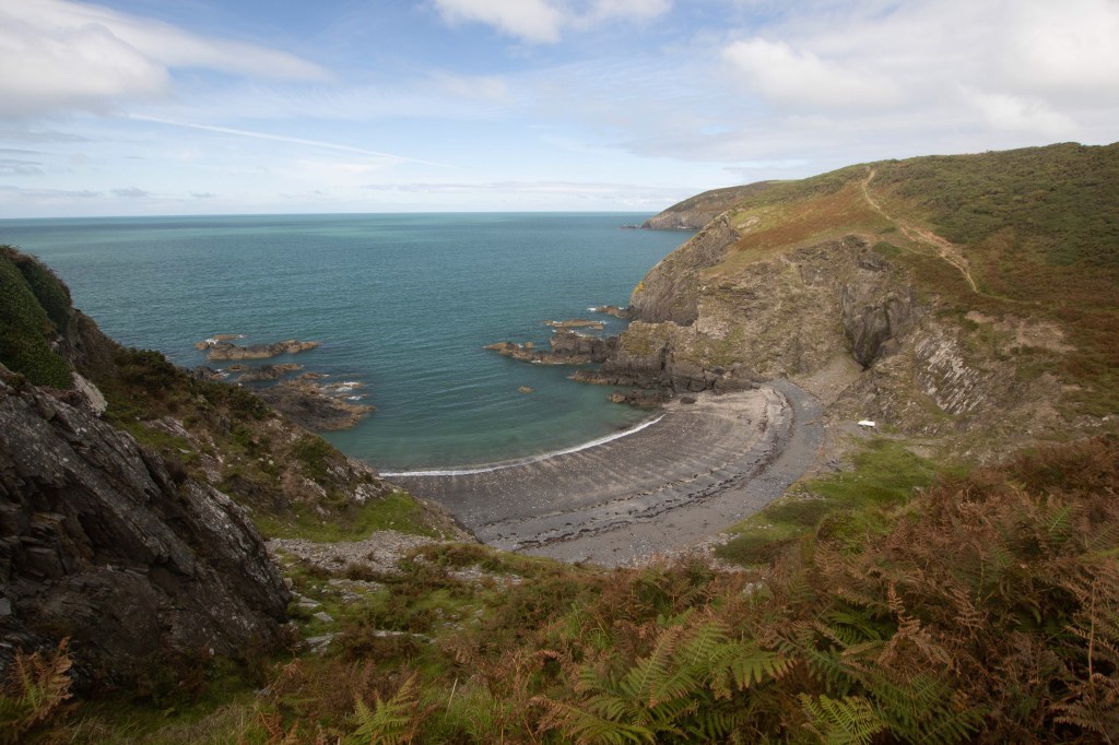
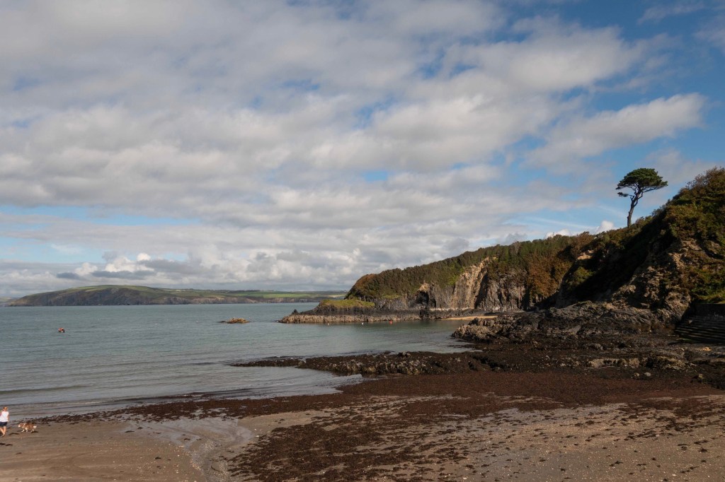
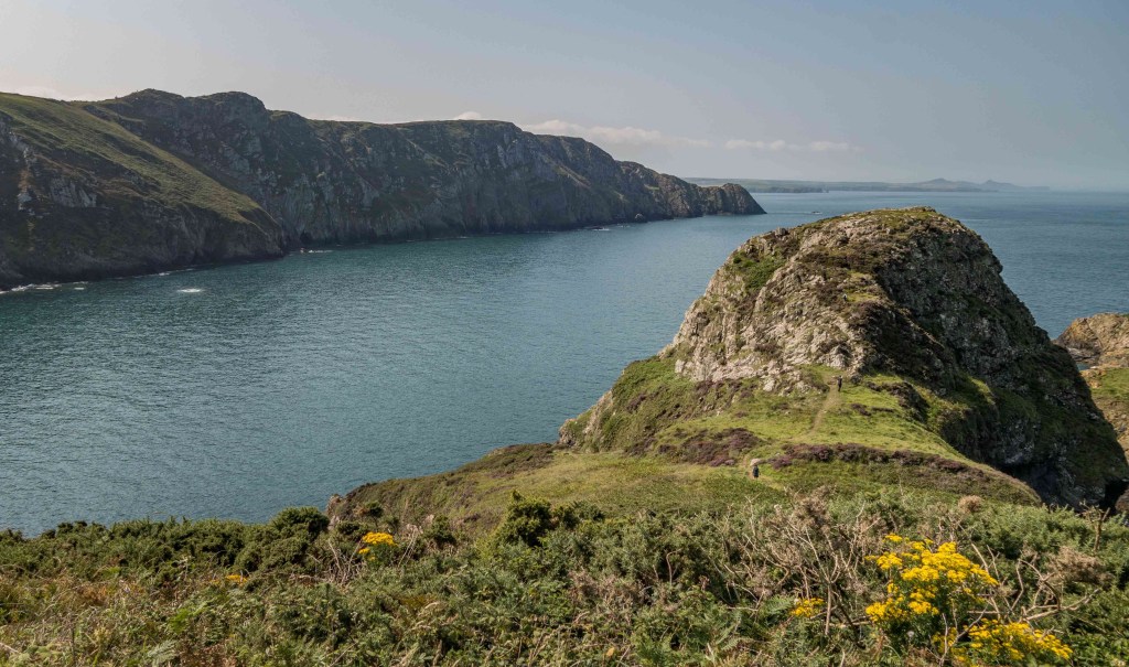
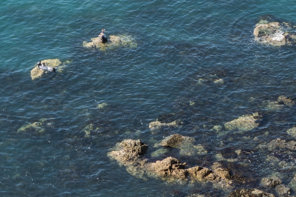
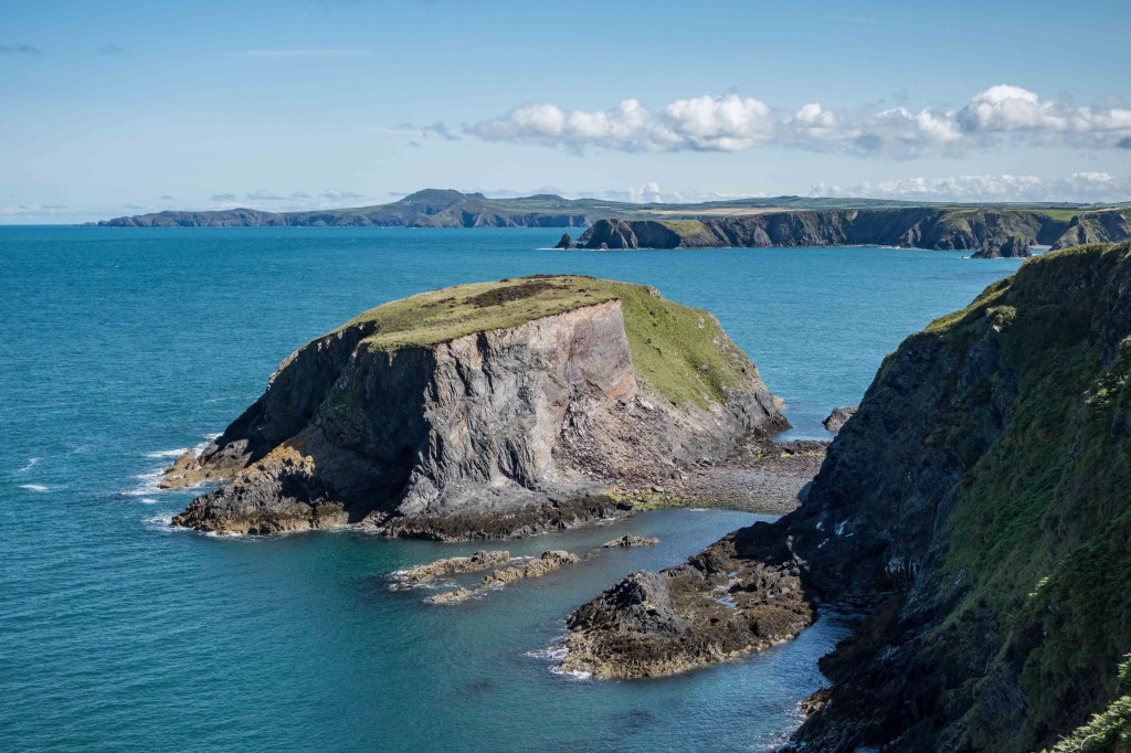
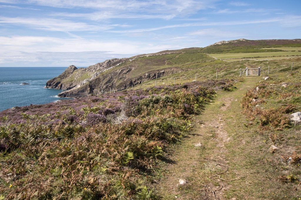
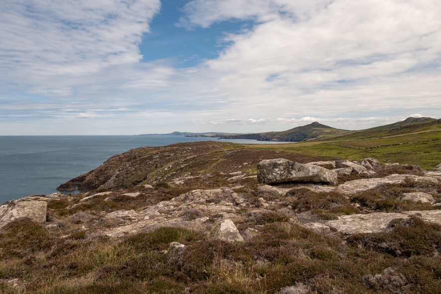
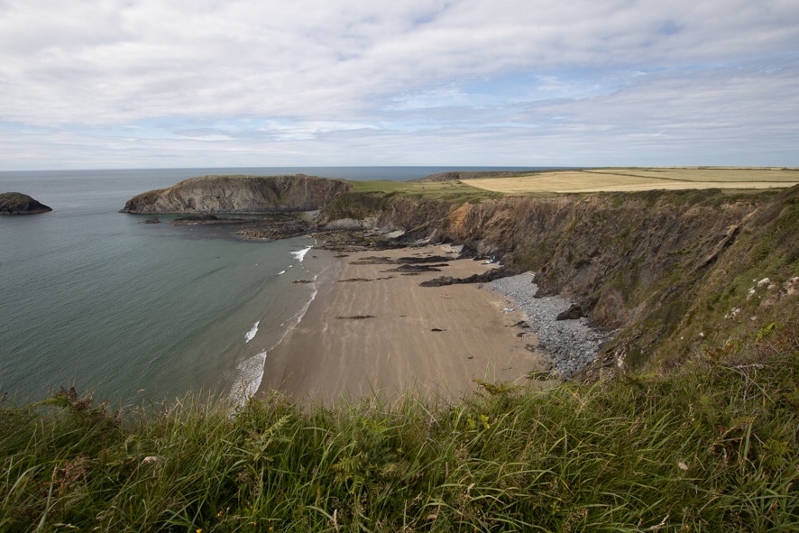
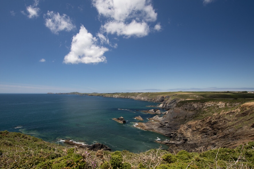
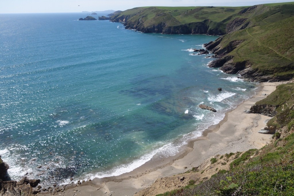
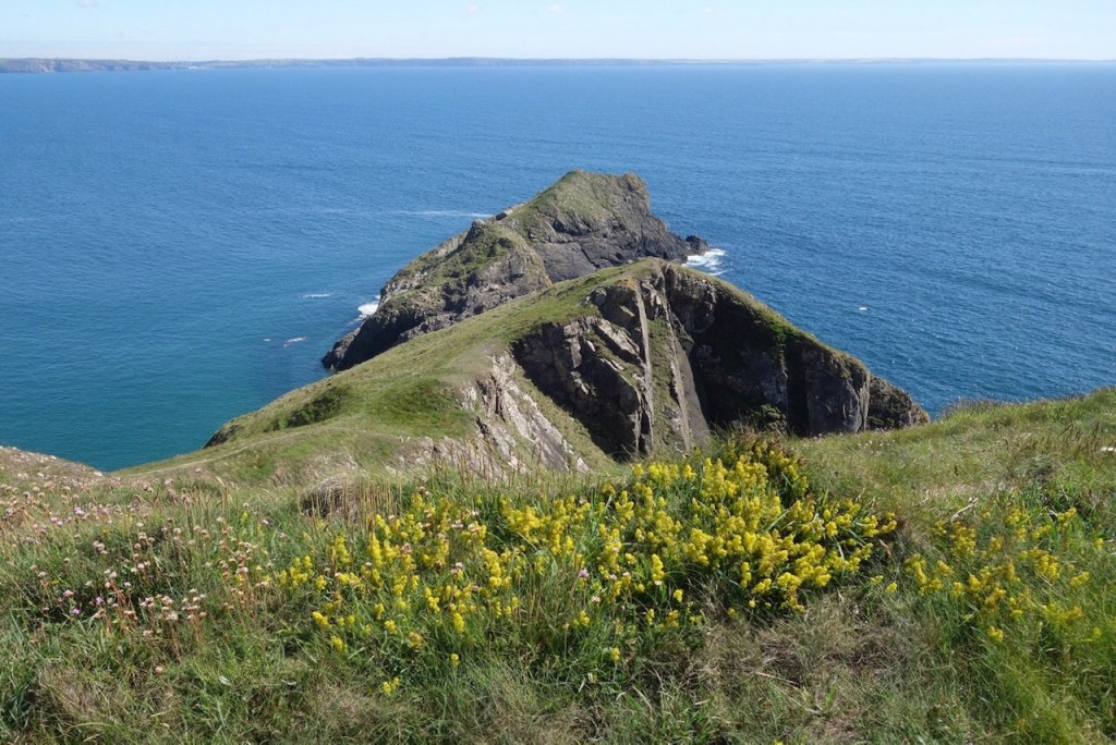
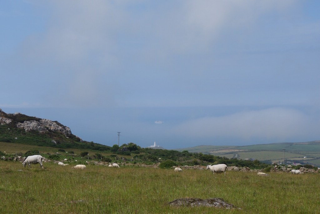
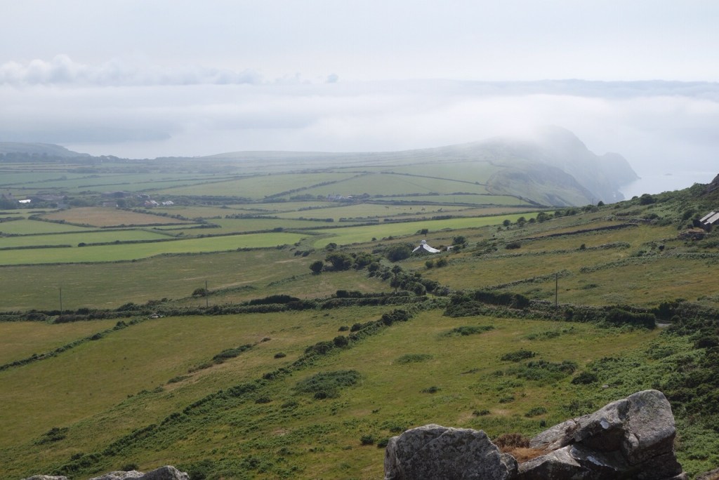
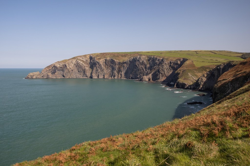
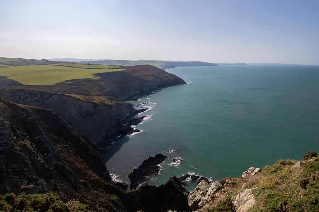
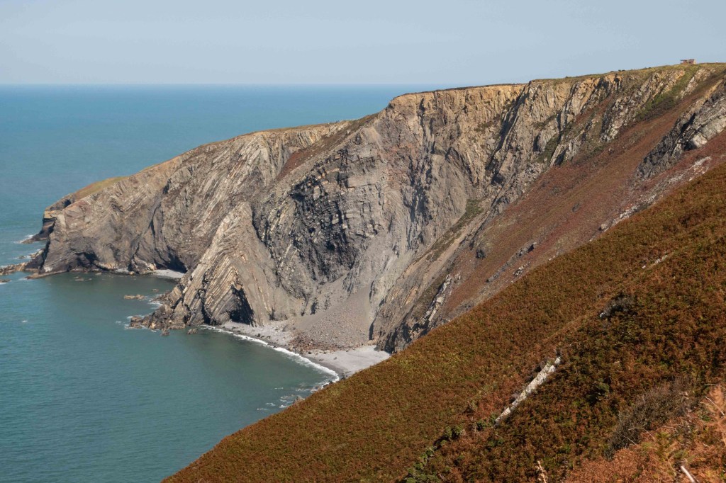
I had always thought the distinctive high headland with intricately folded rocks, visible since Strumble Head, was Cemaes Head, but actually it is Pen yr Afr (Goat’s Head). Cemaes Head is the northern promontory a little further on. It wasn’t a long walk from Ceibwr but the path climbed and climbed, occasionally dropping back down a little but then up again, with a pair of peregrines wheeling and calling overhead, and seals calling in the caves far below. We stopped at the top for our lunch, the most populated picnic spot on the entire walk.

The highest cliff in Pembrokeshire, Pen yr Afr
Looking down from Pen yr Afr, all the way back to Strumble Head
Folded rocks

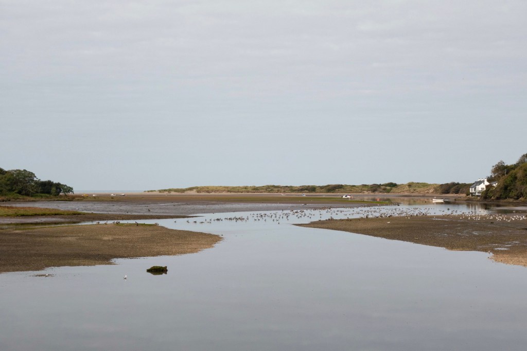
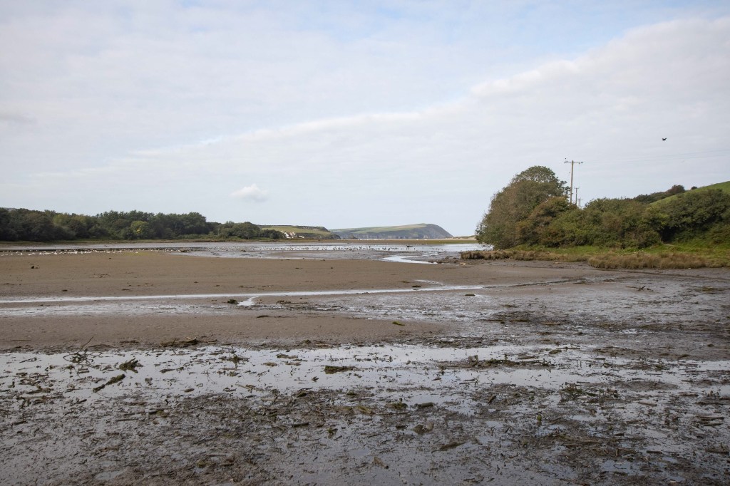
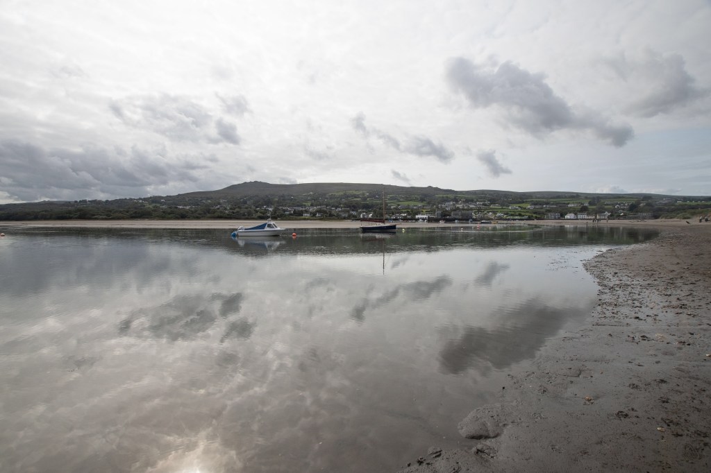
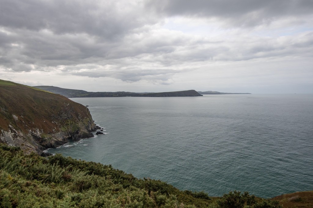
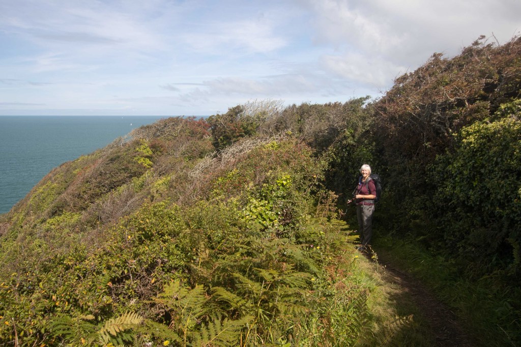
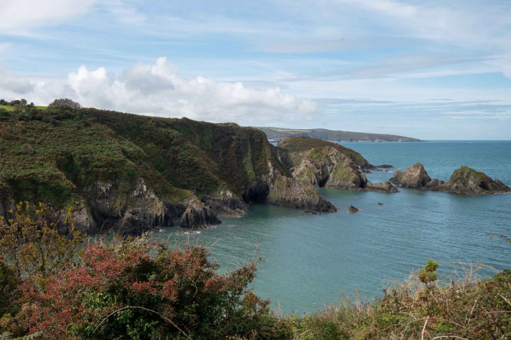
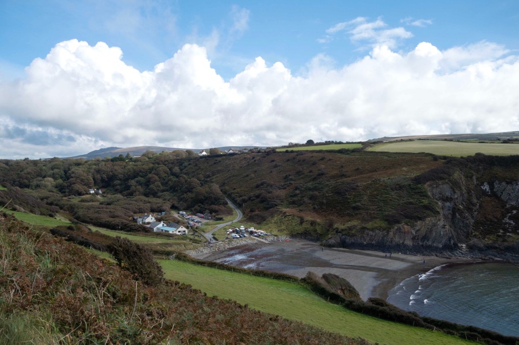
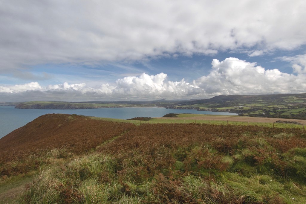
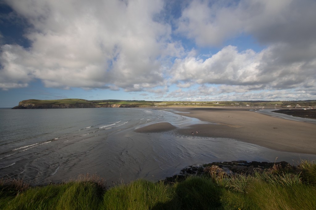
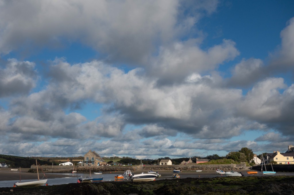
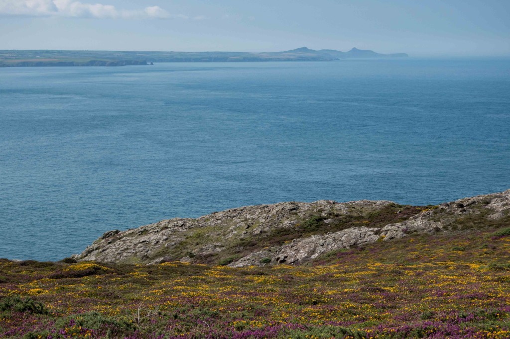
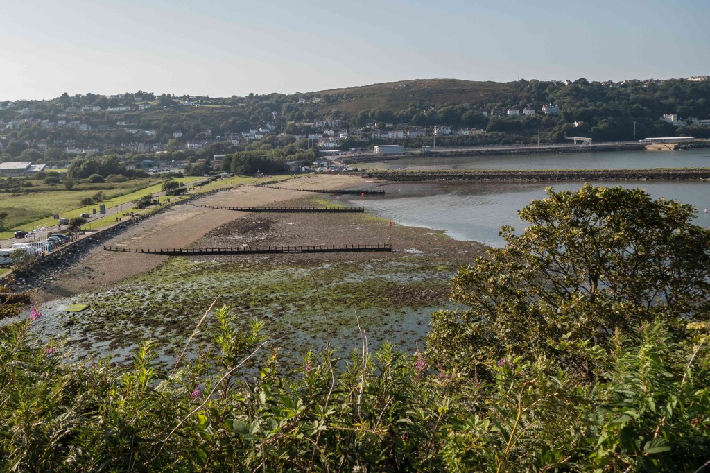
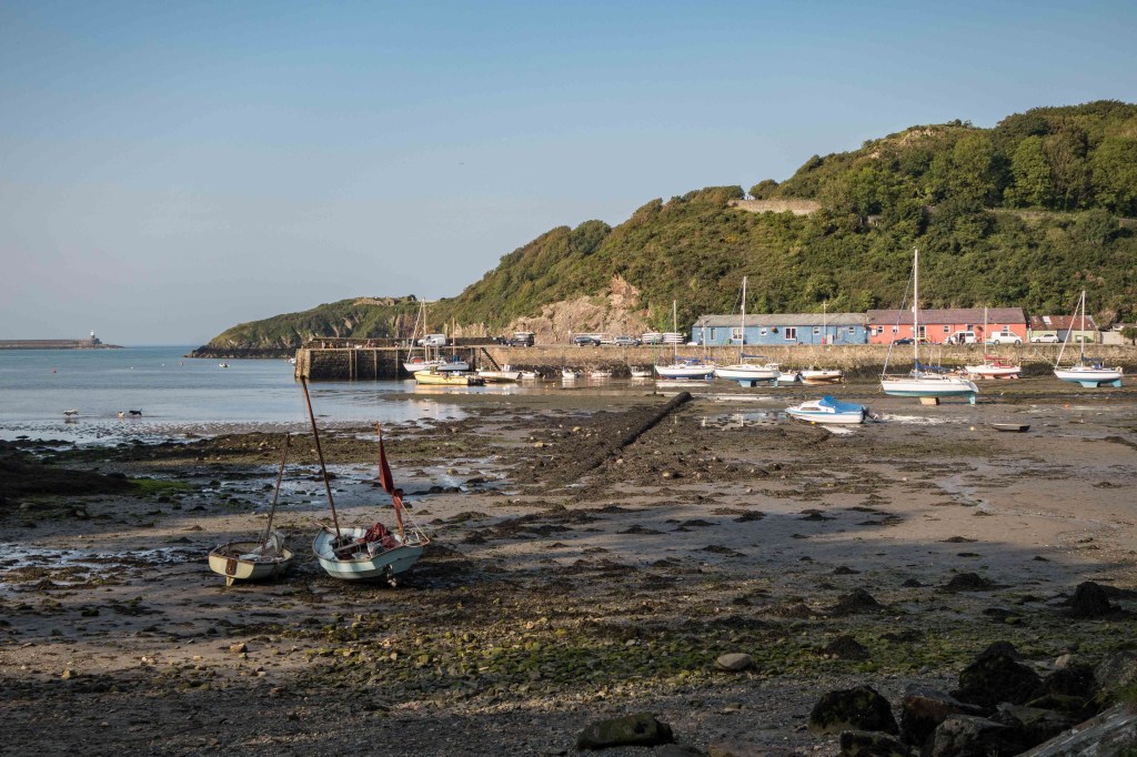
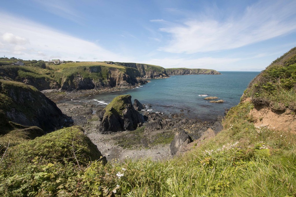
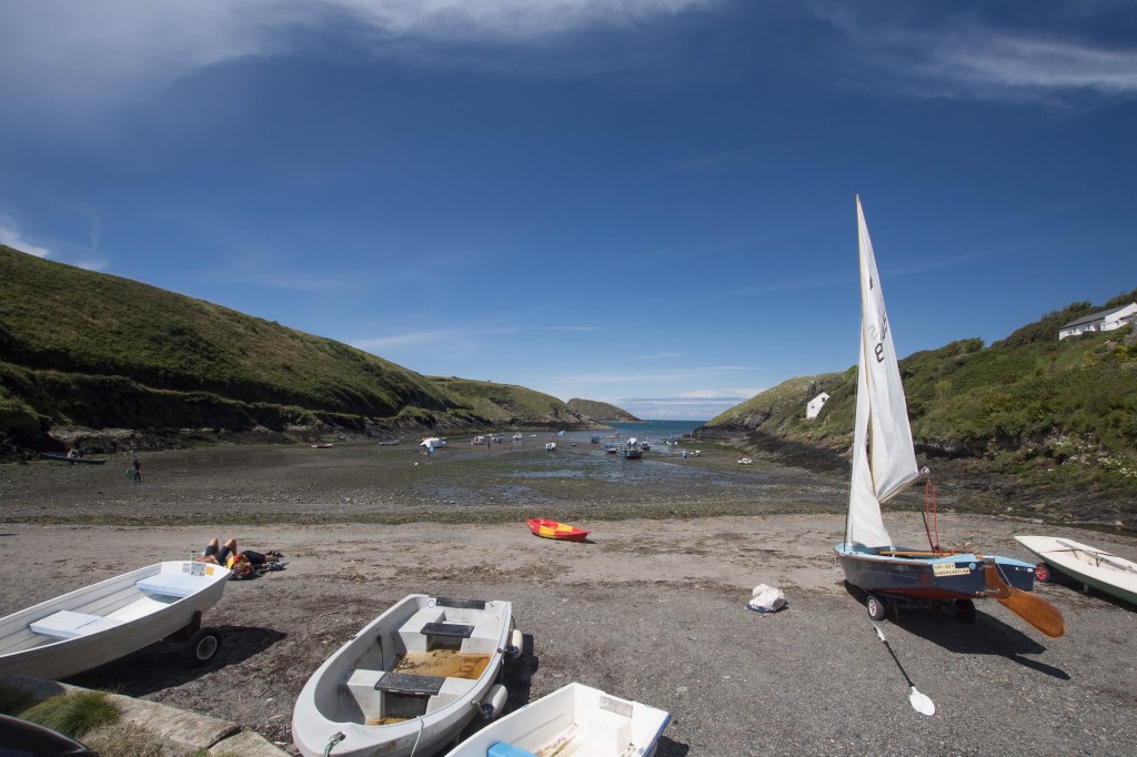
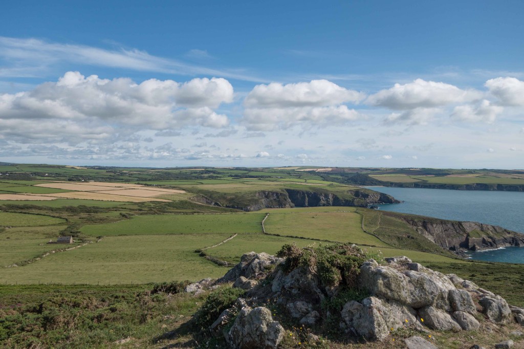
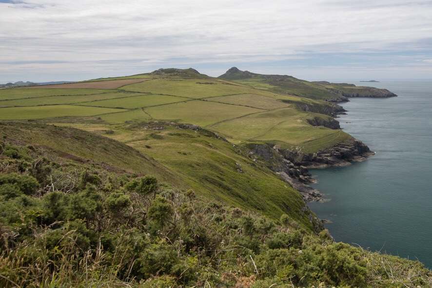
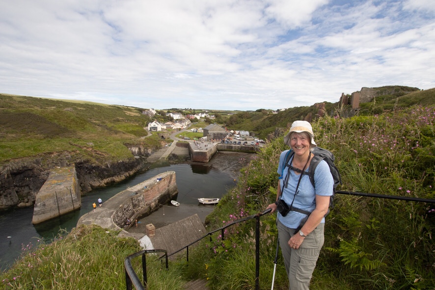
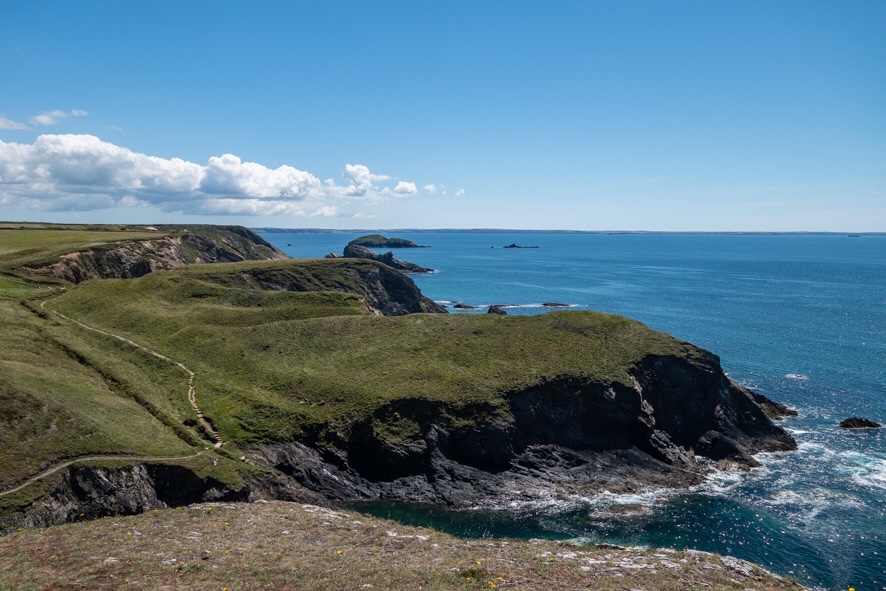
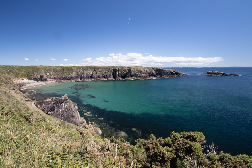
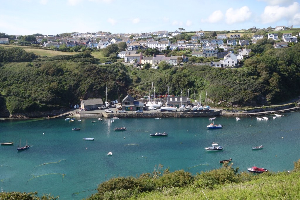
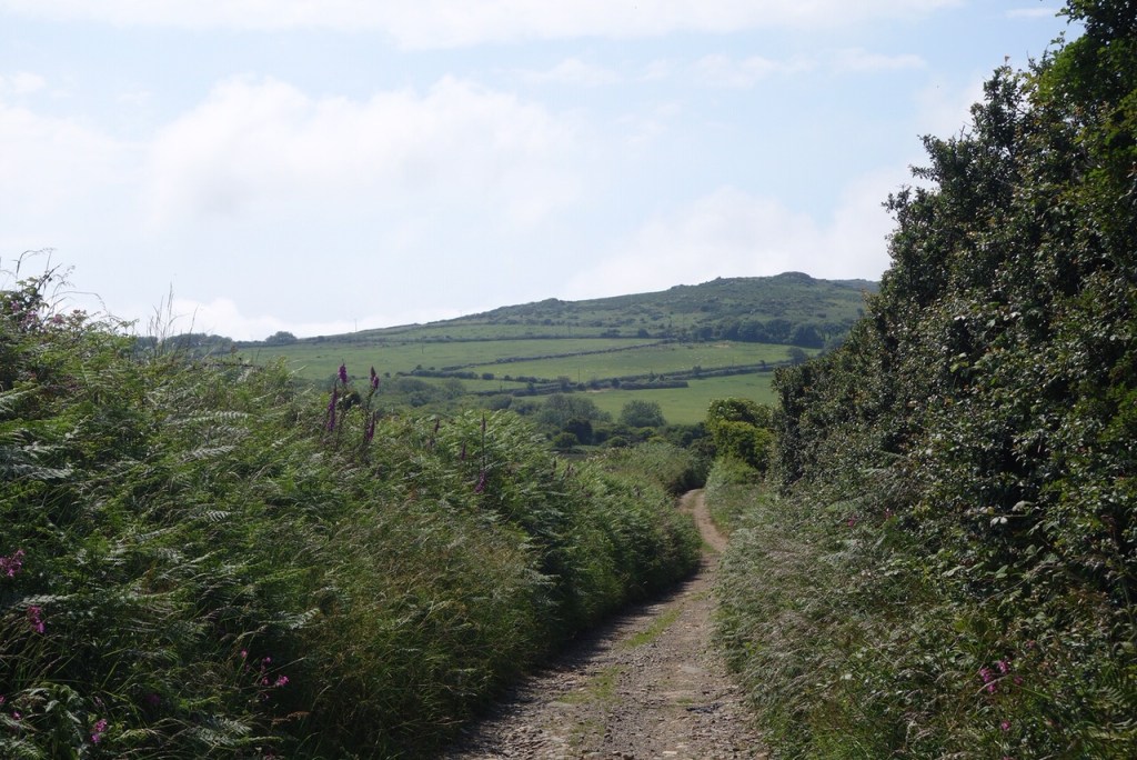
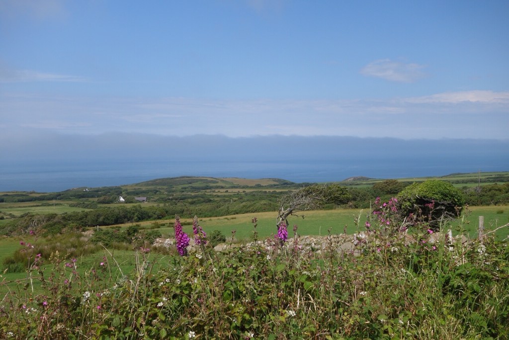
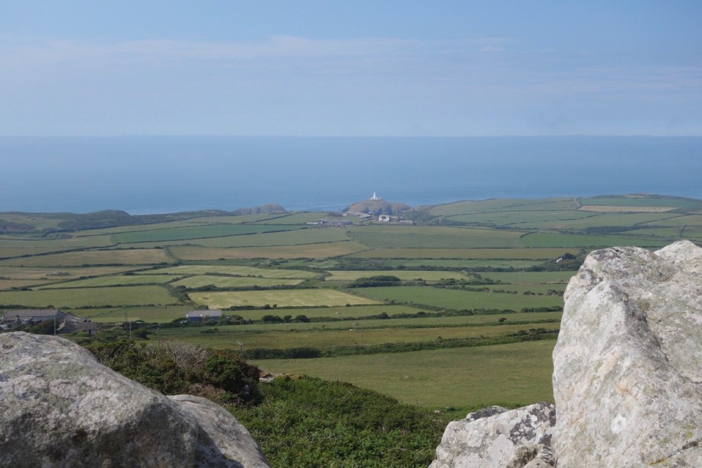
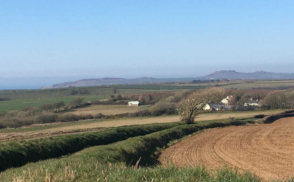
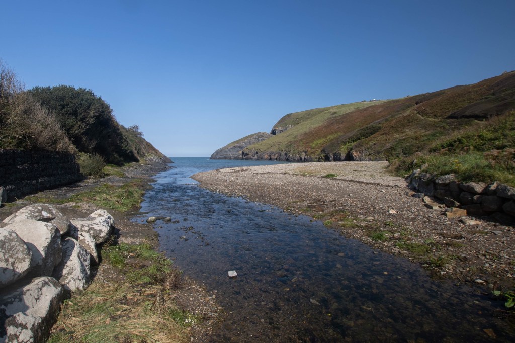
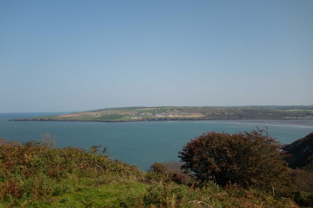
The path continued along the top of the very high cliffs to Cemaes Head and we then had hazy views of the Ceredigion coast, but the scenery was already changing, with drystone walls instead of Pembrokeshire banks. Through a rather ramshackle farmyard and the path changed to a road, dropping gradually down to Poppit Sands where we stopped for ice cream. A couple more miles along the sandy side of the estuary and then on the rather narrow road, and into St Dogmaels.

The mouth of the Teifi
The official finish

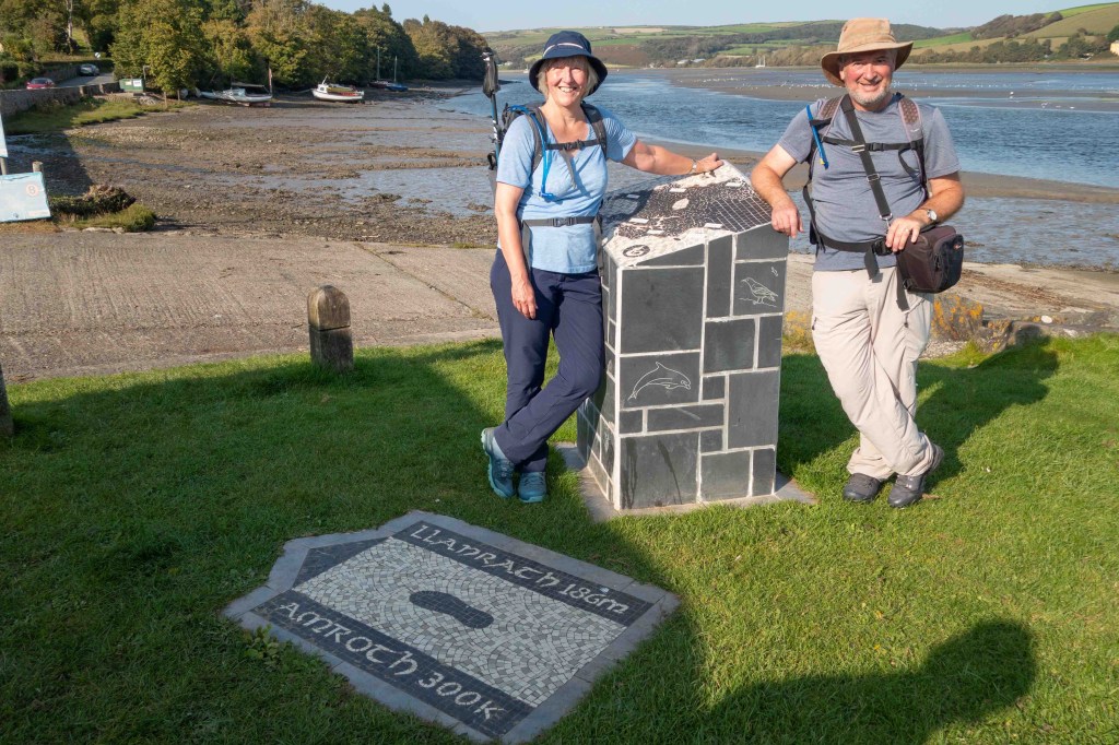
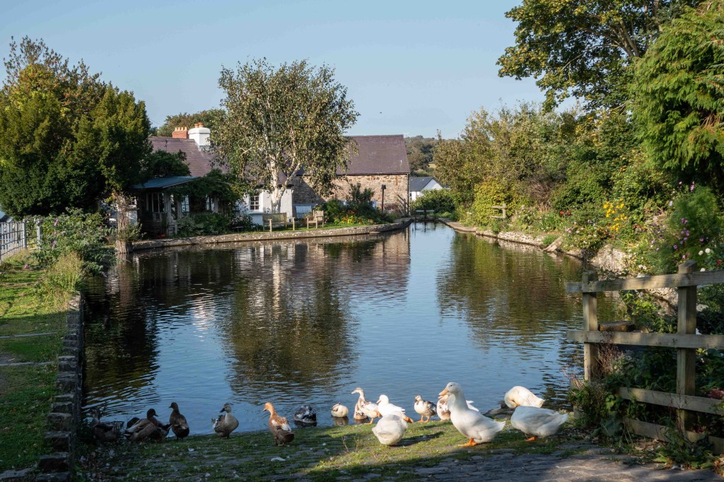
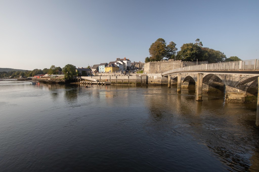
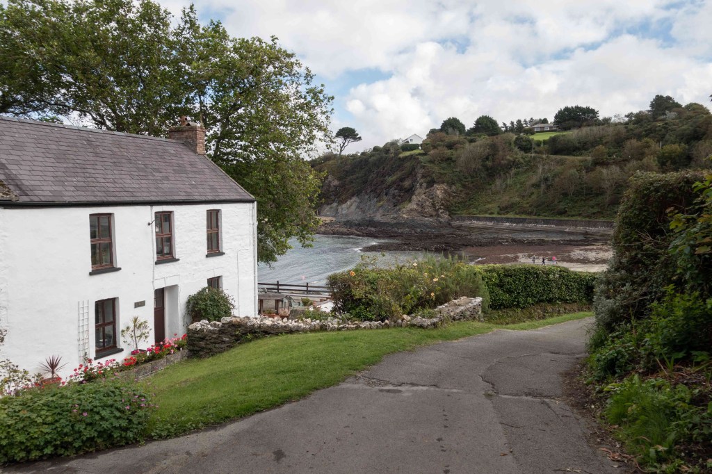
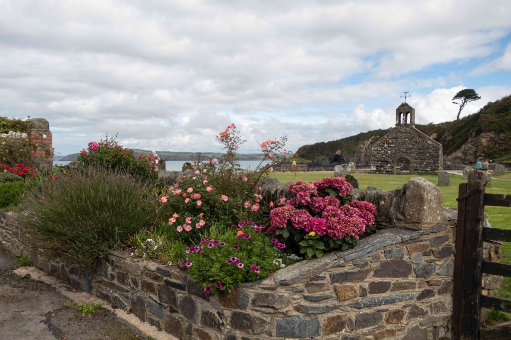
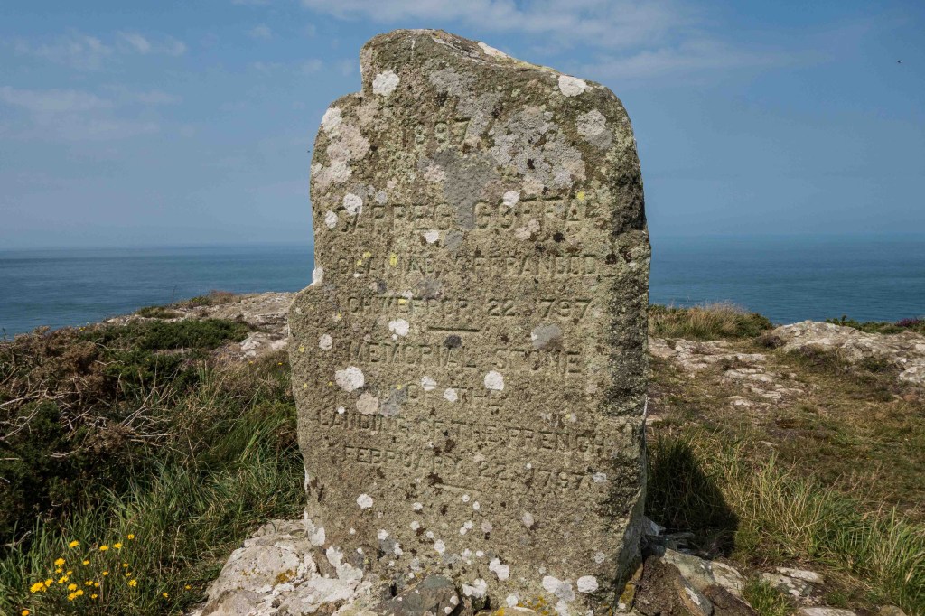
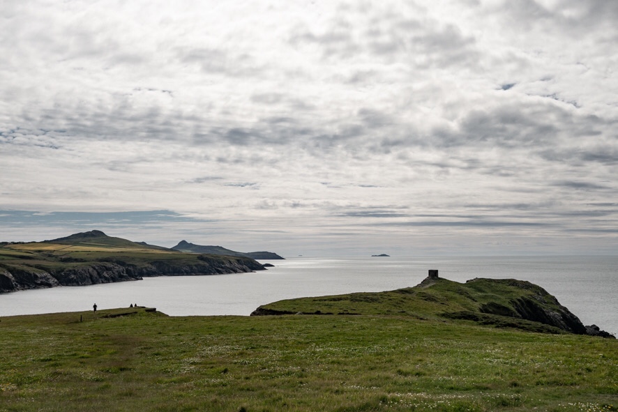
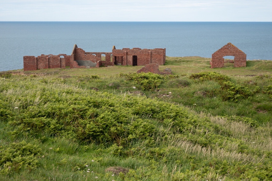
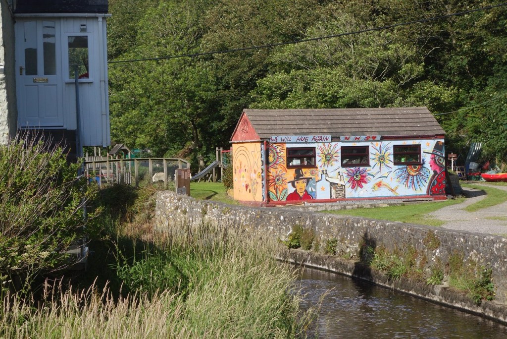
And that should have been the end – but we wanted to finish in Cardigan, to join up with the start of the Ceredigion Way that we walked in 2015. So we continued on the Welsh Coast Path route for a couple more miles, past the ruined abbey and mill pond in St Dogmaels, then not noticing as we left Pembrokeshire on a footbridge at a field boundary. In Cardigan we celebrated with a half pint of Pembrokeshire beer before heading back west to where we belong. 10 miles, and I haven’t added up the totals but it’s meant to be 186 miles with a total ascent higher than Everest. And now we have to decide on our next challenge… (no definitely not Everest!)

Mill pond at St Dogmaels
The bridge across the Teifi in Cardigan

Walking the Pembrokeshire Coast Path – Newport to Ceibwr

There’s no stopping us now – on Thursday we headed north-west to our friends’ house just above Ceibwr bay, then drove them back in Ian’s open-top car (hopefully thus avoiding virus transmission) to Newport, then all walked back to Ceibwr. As always, when walking with friends I am much less observant of my surroundings; walking with Ian doesn’t have the same effect! So apart from mentioning that this section has a pleasant estuary, a big beach which we failed to photograph and then soaring cliffs with some extremely long steep hills both up and down, and interesting tales of drug smugglers, I will let the photos and captions do the rest of the talking. Just under 9 miles.

Crossing the river Nyfer at Newport Iron Bridge
More estuary
Back across to Newport and Carn Ingli
There’s a seal pup on the rock platform, just to the right of the cave
Looking back to Dinas and Strumble
Steep cliffs and inlets, explored by what seemed to be a pedalo
The path clings to the cliff edge, and you can see where it drops right down in the distance
Approaching the Witches’ Cauldron – a collapsed sea cave where the path goes over the bit of cave that hasn’t collapsed. Extraordinary.
The seaward side
And the landward side
The headland just before Ceibwr, with Cemaes Head in the distance – and nearly the end of Pembrokeshire. One more walk…

Walking the Pembrokeshire Coast Path – Fishguard to Newport

Off we went again on Sunday, on a slightly humid day with not much wind. It is under 7 miles by road from Fishguard to Newport, but having walked this section before we knew not to underestimate it. Up the road to Fishguard Fort, then immediately on to a narrow slippery path that twisted and turned for a mile or so, constantly up and down. I wasn’t feeling 100% and considered giving up, but I knew there were lots of points where we could get back to the road if necessary, so decided to plod on and see how it went.

Fishguard fort
Cliff top caravan site and Dinas Head

After walking through the middle of a caravan site, where the vans peered over the cliff edges, loomed over by a rather forbidding grey watch tower, there was much more vegetation around the path and cliffs than we have become accustomed to. Autumn has come early to Pembrokeshire after the August storms and there were many sloes, hawthorn berries, blackberries and flowering ivy.

Lurking in the undergrowth
Hawthorn berries
A beach with no name

Beyond Pwllgwaelod there were many more walkers going up to the top of Dinas Island – not actually an island but a tilted pentagon of a headland with a high point of 142m at the northerly tip, and great views all round. There were fewer people beyond the top and we took the lower path which clings to the cliff side, again rather slippery in the shade. We felt we’d earned our ice cream in the old churchyard at Cwm yr Eglwys, a pretty little village and beach with just one end of the church remaining, the rest having been washed away by the sea in north-easterly storms.

Pwllgwaelod and Carn Ingli in the distance
Looking towards Newport from the top of Dinas Island
The path down into Cwm yr Eglwys
The remains of the church
Cwm yr Eglwys beach

We then had to walk up the very steep lane for quarter of a mile or so before turning off onto the path which for the first time all day was wide and level and went in a straight line for several hundred yards. Then two similar quiet bays, Aberfforest and Aberrhigian, a stretch of good cliff top walking on springy turf and a gentle descent down to the beginnings of Newport. It was nearly a mile more up the estuary and back to the town centre car park, but the plodding had paid off and we finished the day not too tired. 12 miles of coast path, only two more days walking to the end of Pembrokeshire.

Newport Sands
Newport Parrog
Across the estuary

Walking the Pembrokeshire Coast Path – Pwll Deri to Fishguard

While England has been sweltering, in North Pembrokeshire we have had lots of fog and mist. So, waking on Saturday morning and not being able to see much beyond the garden, we decided to postpone the planned walk until Sunday. Fortunately that was a much better day though still hazy and rather humid. So off we went, leaving a car at Fishguard and driving back to the starting point.

Looking back west over Dinas Mawr, just beyond Pwll Deri

The path plummets down from the youth hostel towards the outcrop of Dinas Mawr (I pity anyone walking in the other direction who has to finish a long day with that climb), then regains a little height. Lots of flowers again now – heather, autumn gorse, ragwort, scabious. The path was rocky for most of the day so we had to watch where we were putting our feet.

Last views of Penberi and Carn Llidi
Strumble Head lighthouse

I hadn’t ever walked this section of the path in one go, and just had memories of various interminable muddy circular walks in not very nice weather. Even now there were a few damp sections where the water drains off the northern edge of the peninsula. Once past the lighthouse, views to the north east started to open up, with the wedge of Dinas Head dominating, but the coastline beyond vanished into mist as the day progressed.

Dinas Head in the distance

We ate our picnic overlooking a little beach that I didn’t know existed, with several groups on it – there are so many people around, all looking for quiet beaches. At this point I discovered that my phone wasn’t in my trouser pocket. Hoping I’d left it in the car, we continued, up to Carreg Wasted Point and the stone marking the last invasion of Britain in 1797. Descending into the steep little valley below, it was hard to imagine it on a February night, filled with 1,200 troops and their ammunition and supplies. More here if you’re interested.

The Memorial Stone at Carreg Wasted

We dawdled along the next mile or so, watching and listening to the seals below, and saw our first pups of the year. By now the heat was getting to me so I was glad of an excuse to slow down.

Sunbathing seals – every few minutes they floated off the rocks to cool down in the sea, then rolled back on again

On round the headland of Pen Anglas then turning into Fishguard Bay, and up to Harbour Village perched high above the ferry port at Goodwick. Half a mile or so of suburban street, then the paved path zigzagged steeply down (my poor knees!) before crossing the railway and the empty queuing lanes for the ferry in a caged metal bridge. Finally down at sea level, it was calm, quiet and very warm, so we had a quick ice cream stop before walking along behind Goodwick Beach then up onto Marine Walk, the paved path that runs around the Fishguard cliffs a little below street level.

Nothing much seems to have happened in Fishguard apart from the failed invasion and the filming of Moby Dick (1956) and Under Milk Wood (1972), but it is a very pretty place, especially down in Lower Town. 11.5 miles, and by the time we got back to the car I had news, via Devon, that my phone had been found on the path, and we were able to collect it before going home.

Goodwick beach
Lower Town, Fishguard from Marine Walk
Fishguard Quay

Walking the Pembrokeshire Coast Path – Porthgain to Pwll Deri

We were delighted to have our daughters and their families (including newest granddaughter, just a month old) staying in the area over the last 3 weeks but it gave us yet another excuse to avoid serious walking. Now they are all back home we set out on Sunday, another glorious day. Still using two cars, but this was the closest stretch of path to our home so it didn’t feel too onerous.

The stone hoppers at Porthgain

As soon as we left Porthgain we could see our destination, close to the youth hostel on the high cliffs of Pwll Deri, six miles across the sea. We haven’t walked this section much, Ian having bad memories of a walk about 25 years ago (pre mobile phone) where he totally misjudged the time it would take and ended up running much of it. It’s nearly twice as far as it looks, with big inward curves of bays and many headlands and inlets that you walk round three sides of.

Our destination is at the base of the big hill (Garn Fawr) in the distance

On the first part of the walk we were often skirting cultivated fields or crossing pasture, with not too many ups and downs apart from dropping into the inlets at Aberfelin and Abercastle. We saw a couple of seals, it won’t be long before there are pups on the quieter beaches.

Aberfelin, below Trefin
Abercastle

Abercastle, a pretty hamlet of holiday cottages, was busy. We thought about stopping for our picnic at the next inlet, Pwllstrodur, but there was a solitary swimmer with a very agitated non-swimming dog barking loudly so on we went, up a very steep path then ascending more gently for another half mile or so before stopping for a late lunch, with lovely views both ways along the coast.

What a lovely day – and I have a new hat!
Shingle bank with reed beds behind at Aber Bach, briefly overcast

We trudged across the shingle banks at Aber Mawr and Aber Bach, and then the path climbed again heading north, with a couple of steep descents and ascents at Pwllcrochan. Now we were walking on rockier paths with heather, autumn gorse and bracken around us, up to the outcrop above the headland of Penbwchdy. This rocky ridge drops almost sheer down to the sea on the far side and the path has a real upland feel, with views to the south over farmland and the sea and cliffs to the north. Ian was flagging rather (weighed down by those old memories?) but I was feeling exhilarated. 11.5 miles and a fabulous day out.

Penbwchdy
Looking south across the fields towards our house (hidden in trees on the horizon)
The ridge before Pwll Deri
Pwll Deri and Garn Fawr

Walking the Pembrokeshire Coast Path – Porthsele to Porthgain

Day two of our weekend walk. We’d moved one of the cars from Solva to Porthgain the previous evening, so all we had to do on Sunday was get up and walk, but as usual it took a little while to get going. The stiffness in our legs quickly wore off. Not quite such a perfect day for walking or photography, with high cloud and some humidity, but still lovely to be out.

Looking back to Whitesands and the Ram’s Nose
Hut circles on St David’s Head
Coetan Arthur with Carn Llidi behind

It was busy around Whitesands and out to St David’s Head, but once onto the northern side of the head there were few other people. This is a strange stretch which never looks the same twice, where we have lost our bearings in the mist and once lost an hour (finding it again 2 days later). Continuing north-east, we could see as far as Strumble Head, with the rocky summit of Penberi close to the coast, and we knew that we had one of the steepest climbs ahead of us. Lunch had to wait until we got to the top (never a good idea to stop and eat at the bottom of a hill) but I was more than ready for it by the time we got there.

Onwards towards Penberi and Strumble Head
Looking back down the path from the highest point on Penberi

We gradually dropped back down, with many twists and turns, reaching the road just before Abereiddy. Another packed car park and we paused for refreshments before following the coast path up the other side. To my astonishment, the signposted path doesn’t go round the top of the Blue Lagoon (a spectacular sea-flooded quarry) so if you didn’t know it was there when walking the path, you would miss it by just a few metres.

Abereiddy
As close as you get to the Blue Lagoon

I was starting to flag but the last couple of miles were easy walking and we pushed on, though this is an area which deserves much slower exploration – the beach at Traeth Llyfn, abandoned quarries, paths along old tramways, a rocky cove. At last we reached the top of Porthgain, then just 50 steep steps down to the quay. Usually we’d round off this walk with a pint and burger at the Sloop, but it’s not open yet, so after a quick diversion back to the caravan to collect belongings and other car, we went home for a very welcome bath and meal. 10.9 miles.

Traeth Llyfn
Remnants of industry above Porthgain
Porthgain – at last!

And finally thank you to Ian for many of the photos for the last two walks – now he has his new camera he can download them much more easily, so I now have two sets to choose from. It doesn’t make it easier!

Walking the Pembrokeshire Coast Path – Solva to Porthsele

This weekend we walked on both Saturday and Sunday with a night in our caravan at Pencarnan (above Porthsele, just south of Whitesands) with the site just reopening to visitors. A couple of glorious days walking the part of the coast path that we know and love the best, right round the St Davids peninsula.

It took us a while to get going on Saturday sorting out stuff for the caravan and leaving it and one car at Pencarnan before driving on to Solva. The car park there was already busy and we passed many more groups of walkers than on the previous walk, everyone being very careful to negotiate past each other on narrow sections of path.

Solva

Once we’d climbed up out of the harbour to cliff top level, the path was generally wide and level so very easy walking. The tide was falling, the sea calm and blue, just a slight sea breeze to keep us cool – perfect walking conditions. It was time for lunch soon after starting, and we walked out onto one of the headlands of Porth y Rhaw Iron Age fort, much eroded but with impressive banks still visible.

West towards Ramsey
Porth y Rhaw

We continued west, past the cathedral stone cliffs at Caerbwdy and the beach at Caerfai, past St Nons with its chapels and choughs and fulmars, and down into the sheltered harbour at Porth Clais.

Caerbwdy
Caerfai
Porthclais
Porthclais

A brief stop for an ice cream from the kiosk, then on again, now looking due south across St Brides Bay to Skomer and with the jagged islets at the southern end of Ramsey Island not far ahead. We dropped down into Porthlysgi with its clear sandy bottom, then up onto the Treginnis headland. Past the heavily caved inlets where, in a couple of months, the seals will be singing, then turning our back on St Brides Bay and north alongside the troubled waters of Ramsey Sound, never still, the tide squeezed between mainland and island. Near the old copper mine at the most westernmost point of mainland Wales, a seal swam past on the current and, now late afternoon, we had the path to ourselves. Past the lifeboat station at St Justinian’s and onto the path we have walked hundreds of times, though recent cliff falls have caused it to be rerouted in places. Then a final corner turning east and the wonderful and oh so familiar view of Whitesands with Carn Llidi behind. Coming home.

Porthlysgi
Parasitic dodder growing on gorse
Ramsey Sound
Three generations of lifeboat stations
Porthsele, Whitesands and Carn Llidi

12.1 miles, Sunday still to be written up…

Walking the Pembrokeshire Coast Path – Newgale to Solva

Hooray, the Pembrokeshire Coast Path is open again, though there has been no official announcement, they don’t want to encourage anyone. And the weather forecast for Thursday afternoon looked good, so we stretched the 5 mile limit and took both cars out, leaving one at Solva. Two lots of parking to pay but it’s about time we put some money into the local economy.

The beach at Pen y Cwm
Looking back to Newgale

A lovely afternoon and a relatively short walk (4.6 miles) but there were lots of ups and downs – many of the ups with steps apparently designed for giants rather than people with normal length legs. We took it all steadily, enjoying the views of the clear sea below us and the distant islands. We met only two other sets of walkers.

We’ve missed all the lovely spring flowers but there was still some colour. A group of five choughs suddenly zoomed up from below the cliff top and settled on the turf around 15 meters away, digging for insects and calling loudly to each other. Their beaks looked more yellow than red so some were probably juveniles.

Choughs

The houses of upper Solva looked almost close enough to touch but we knew there were still two valleys between us and them. So a final down up down and back to the car park at the bottom, past a group of children noisily swimming from the quay (people! noise!) and some newly decorated buildings.

The Gribin with Solva beyond
Solva Quay. Ships used to sail to the USA from here.
Welsh Cuban influences

We finished off the day with fish and chips from The Shed at Porthgain. Almost like normal times again! Take care all.

Still not walking the Pembrokeshire Coast Path – a ramble on Strumble

I haven’t been blogging, and hesitated before writing this one, as nothing much is happening. But I thought some people might appreciate a few mediocre photos and a glimpse of sea. If not, stop reading now!

Current Welsh Government restrictions are such that we aren’t meant to go more than 5 miles from home, and the Coast Path is still closed. Over the last few months we’ve explored many of the lanes and footpaths around the house, walking increasingly wide circles, but yesterday for the first time we drove out for a walk, parking up on Garn Fawr on Strumble Head. Somewhat hazy with mist coming off the sea in places, but lovely to be walking mostly off road and just a mile or so from the coast. There were a few rocky scrambles to highlight how unfit we are, the Coast Path is going to be a challenge when we get back to it.

The gorse has finished but the heather is out
The Rosslare ferry levitating above Strumble Head lighthouse
Leafy lanes, lots of foxgloves
Old lane out of Llanwnda
We thought that might be North Wales on the horizon but it’s just clouds
And more mist looking west over Pwll Deri
Last view of the lighthouse

Hoping everyone is keeping well and not too stir crazy. And also hoping we’ll be able to get back on the Coast Path before too long.

Not walking the Pembrokeshire Coast Path

My good intentions to complete the Coast Path by midsummer seem unlikely to be met now that the path is mostly closed and our world has shrunk to the house, garden and surrounding lanes. We are fortunate though to be in good health so far, and to have lovely views and plenty of garden to keep us occupied – though it’s a shame that the big lawnmower broke just as the lockdown started. Various online orders have been placed for new parts, gadgets to help replace the new parts, and an electric mower to tide us over. Where would we be without the internet and home delivery?

The garden is full of primroses, celandine and a surfeit of purple sprouting broccoli (Ian has threatened me with broccoli soup, and I him with a broccoli quiche. Standoff at the moment.) In the lanes the first leaves are showing, the blackthorn is starting to flower, the gorse is turning many hedges to gold and there are violets in the banks.

The farming year progresses around us much as usual. The field surrounding the garden has been ploughed for the first time in many years and has turned from green (grass) to yellow (dead grass) to black (muck) to brown (ploughed) to white (lime) and now brown (rolled). It’s all happening here! Next week they are sowing barley. There are ewes and lambs in many of the other fields, and potatoes being planted.

Potato planting
About as close as we can get to the sea, far left

I’m thankful that we’re had days of sunshine after a very wet winter. Hoping that you are all well and not too lonely and that these photos have provided a few minutes’ distraction.