While England has been sweltering, in North Pembrokeshire we have had lots of fog and mist. So, waking on Saturday morning and not being able to see much beyond the garden, we decided to postpone the planned walk until Sunday. Fortunately that was a much better day though still hazy and rather humid. So off we went, leaving a car at Fishguard and driving back to the starting point.
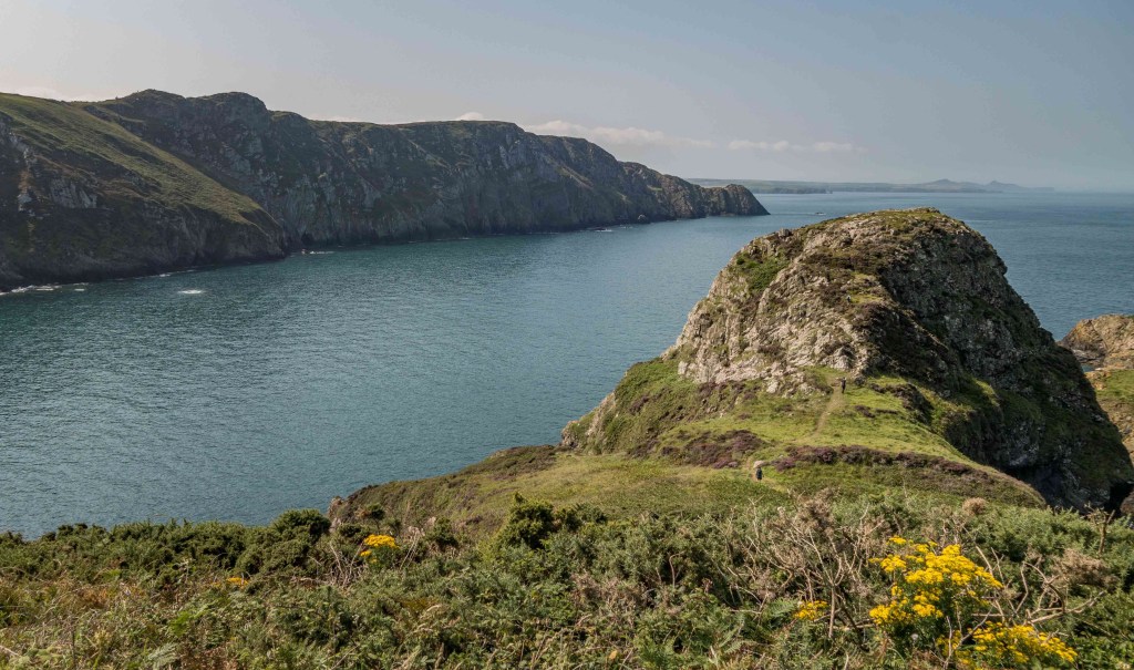
The path plummets down from the youth hostel towards the outcrop of Dinas Mawr (I pity anyone walking in the other direction who has to finish a long day with that climb), then regains a little height. Lots of flowers again now – heather, autumn gorse, ragwort, scabious. The path was rocky for most of the day so we had to watch where we were putting our feet.
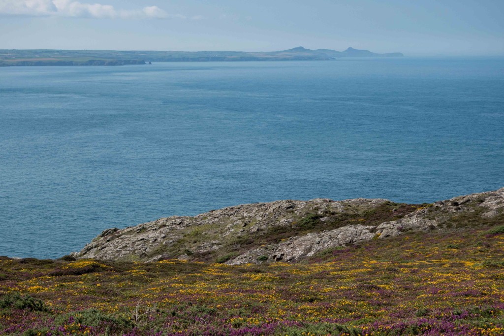
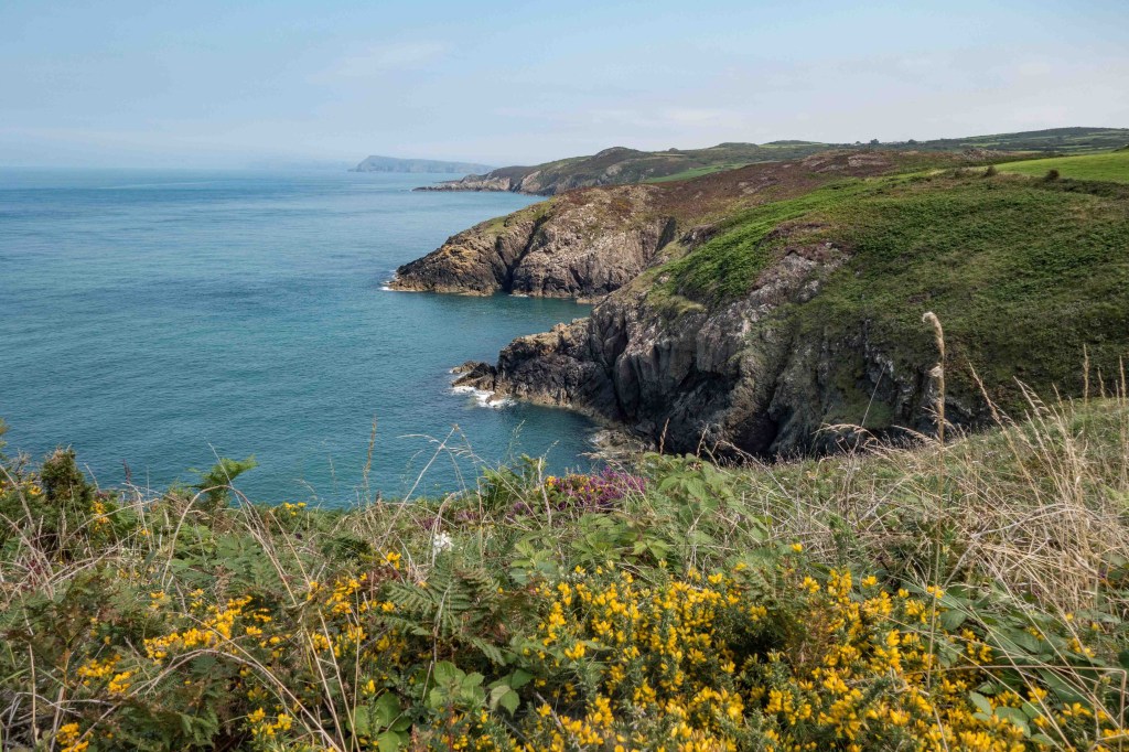
I hadn’t ever walked this section of the path in one go, and just had memories of various interminable muddy circular walks in not very nice weather. Even now there were a few damp sections where the water drains off the northern edge of the peninsula. Once past the lighthouse, views to the north east started to open up, with the wedge of Dinas Head dominating, but the coastline beyond vanished into mist as the day progressed.
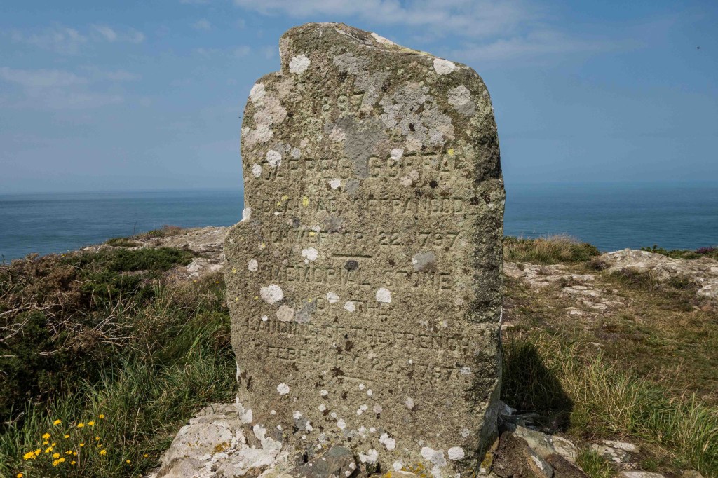
We ate our picnic overlooking a little beach that I didn’t know existed, with several groups on it – there are so many people around, all looking for quiet beaches. At this point I discovered that my phone wasn’t in my trouser pocket. Hoping I’d left it in the car, we continued, up to Carreg Wasted Point and the stone marking the last invasion of Britain in 1797. Descending into the steep little valley below, it was hard to imagine it on a February night, filled with 1,200 troops and their ammunition and supplies. More here if you’re interested.
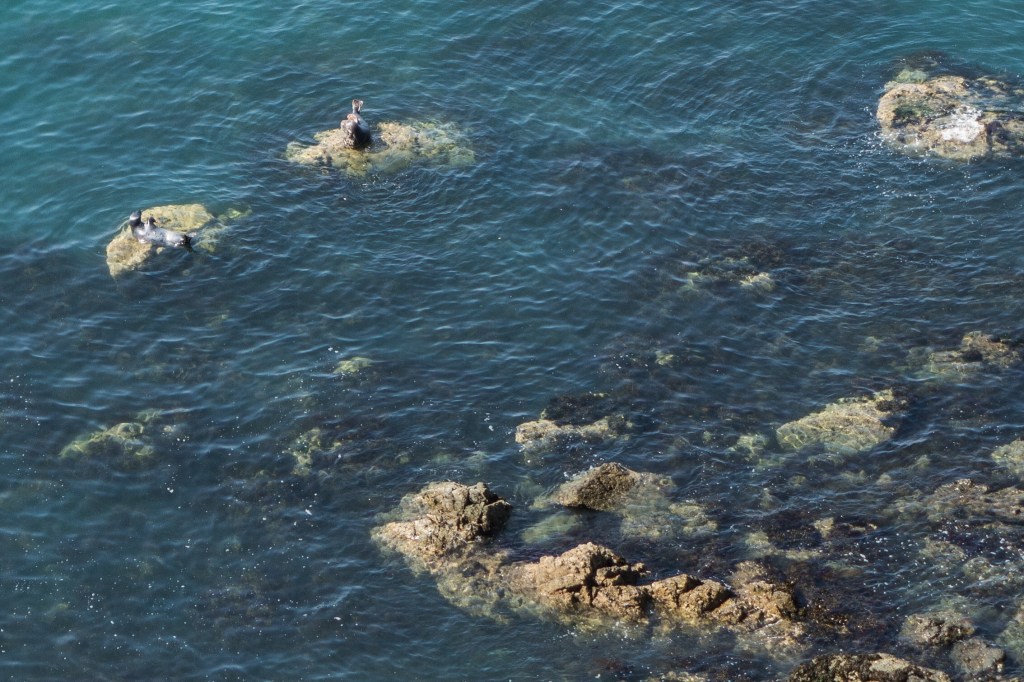
We dawdled along the next mile or so, watching and listening to the seals below, and saw our first pups of the year. By now the heat was getting to me so I was glad of an excuse to slow down.
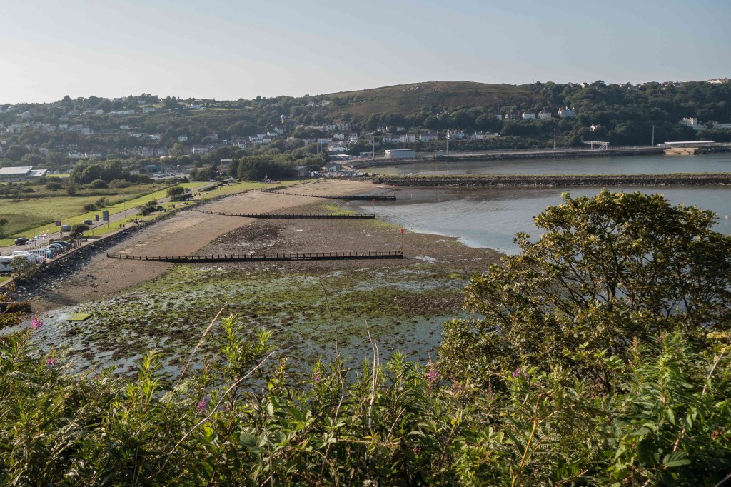
On round the headland of Pen Anglas then turning into Fishguard Bay, and up to Harbour Village perched high above the ferry port at Goodwick. Half a mile or so of suburban street, then the paved path zigzagged steeply down (my poor knees!) before crossing the railway and the empty queuing lanes for the ferry in a caged metal bridge. Finally down at sea level, it was calm, quiet and very warm, so we had a quick ice cream stop before walking along behind Goodwick Beach then up onto Marine Walk, the paved path that runs around the Fishguard cliffs a little below street level.
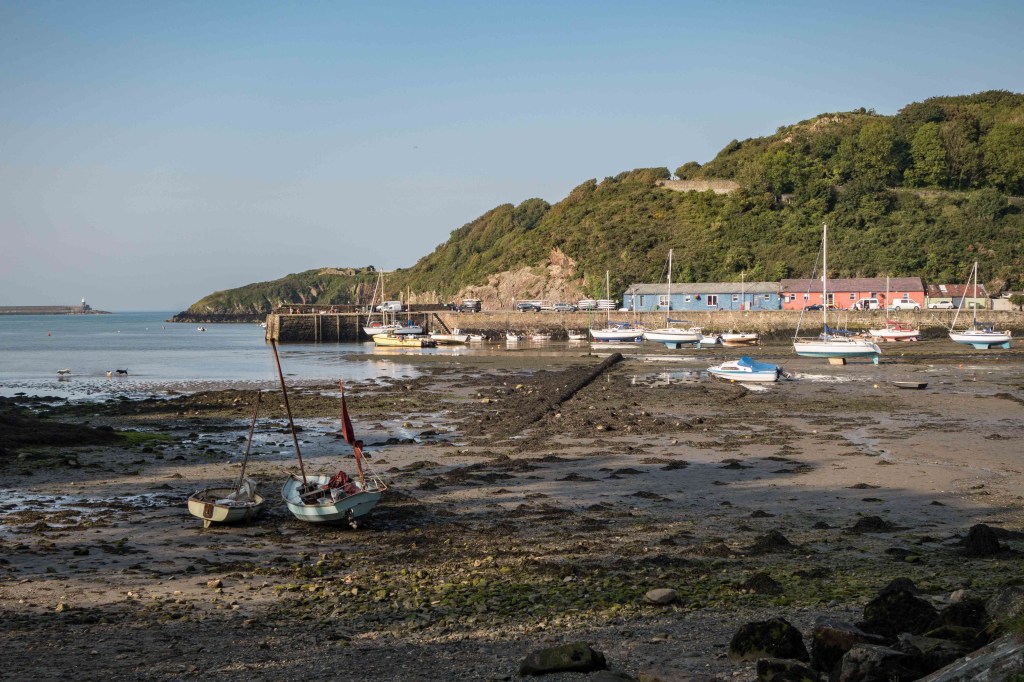
Nothing much seems to have happened in Fishguard apart from the failed invasion and the filming of Moby Dick (1956) and Under Milk Wood (1972), but it is a very pretty place, especially down in Lower Town. 11.5 miles, and by the time we got back to the car I had news, via Devon, that my phone had been found on the path, and we were able to collect it before going home.


Thanks Anne, that was lovely and felt like we’d been on the walk with you! Superb pictures again. Glad someone found your phone and especially glad you didn’t do the walk today. Scorcho☀️! Don’t forget to come and see us 🙂.
LikeLike
Looks lovely. Well done and Hope you’ve recovered! Glad you got your phone back xx
LikeLike